
File:LocationAntarctica.png
原本檔案 (2,759 × 1,404 像素,檔案大細:50 KB ,MIME類型:image/png)

|
File:Antarctica Location.svg is a vector version of this file. It should be used in place of this PNG file when not inferior.
File:LocationAntarctica.png → File:Antarctica Location.svg
For more information, see Help:SVG. |
 |
摘要
Español: Mapamundi mostrando la ubicación de la Antártida.
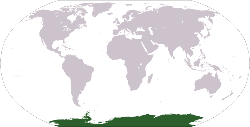
World map depicting Antarctica; map adapted from PDF world map at CIA World Fact Book.
Updated March 31, 2006 to remove green above 60°S line. in december there is 24 hours of sun light
協議
This image is in the public domain because it contains materials that originally came from the United States Central Intelligence Agency's World Factbook.
|
 |
檔案歷史
撳個日期/時間去睇響嗰個時間出現過嘅檔案。
| 日期/時間 | 縮圖 | 尺寸 | 用戶 | 註解 | |
|---|---|---|---|---|---|
| 現時 | 2013年4月23號 (二) 17:13 |  | 2,759 × 1,404(50 KB) | User02062000 | |
| 2013年4月23號 (二) 17:10 |  | 2,759 × 1,404(50 KB) | User02062000 | Reverted to version as of 18:54, 20 December 2005 | |
| 2008年1月19號 (六) 12:37 |  | 2,759 × 1,404(97 KB) | F l a n k e r | Transparency | |
| 2006年3月31號 (五) 01:04 |  | 2,759 × 1,404(55 KB) | David Kernow~commonswiki | ||
| 2005年12月20號 (二) 18:54 |  | 2,759 × 1,404(50 KB) | E Pluribus Anthony~commonswiki | World map: Antarctica (location) | |
| 2005年4月28號 (四) 12:38 |  | 2,759 × 1,404(39 KB) | Ghalas | Extracted from CIA World Factbook PDF world map, then rasterized and colored. {{PD-USGov-CIA-WF}} |
檔案用途
全域檔案使用情況
下面嘅維基都用緊呢個檔案:
- af.wikipedia.org嘅使用情況
- am.wikipedia.org嘅使用情況
- ang.wikipedia.org嘅使用情況
- arc.wikipedia.org嘅使用情況
- ar.wikipedia.org嘅使用情況
- arz.wikipedia.org嘅使用情況
- ba.wikipedia.org嘅使用情況
- bcl.wikipedia.org嘅使用情況
- be-tarask.wikipedia.org嘅使用情況
- bjn.wikipedia.org嘅使用情況
- bn.wikipedia.org嘅使用情況
- bo.wikipedia.org嘅使用情況
- bpy.wikipedia.org嘅使用情況
- br.wikipedia.org嘅使用情況
睇呢個檔案嘅更多全域使用情況。