
File:Manang site (54).JPG

原本檔案 (3,872 × 2,592 像素,檔案大細:4 MB ,MIME類型:image/jpeg)
.JPG?uselang=yue)
摘要
| 描述 |
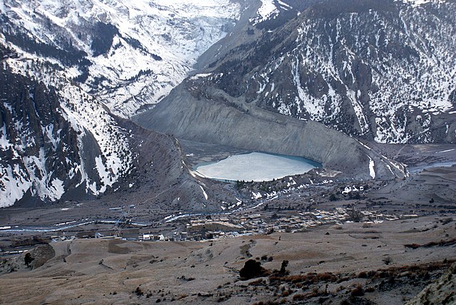
English: Damodar Himal
|
||
| 日期 | |||
| 來源 | 自己作品 | ||
| 作者 | Bijaya2043 |
| Camera location | | View this and other nearby images on: OpenStreetMap |
|---|
.JPG¶ms=028.665925_N_0084.021372_E_globe:Earth_type:camera__&language=yue)
協議
我,呢份作品嘅作者,決定用以下許可發佈呢件作品:
呢個檔案用共享創意 姓名標示-非商業性-相同方式分享3.0 未本地化版本條款授權。
- 你可以:
- 去分享 – 複製、發佈同傳播呢個作品
- 再改 – 創作演繹作品
- 要遵照下面嘅條件:
- 署名 – 你一定要畀合適嘅表彰、畀返指向呢個授權條款嘅連結,同埋寫明有無改過嚟。你可以用任何合理方式去做,但唔可以用任何方式暗示授權人認可咗你或者你嘅使用方式。
- 相同方式分享 – 如果你用任何方式改過呢個作品,你必須要用返原本或者相似嘅條款發佈。
This image was uploaded as part of Wiki Loves Earth 2014.
|
 |
檔案歷史
撳個日期/時間去睇響嗰個時間出現過嘅檔案。
| 日期/時間 | 縮圖 | 尺寸 | 用戶 | 註解 | |
|---|---|---|---|---|---|
| 現時 | 2022年5月9號 (一) 05:21 | | 3,872 × 2,592(4 MB) | WikiPedant | selectively adjusted levels |
| 2014年5月31號 (六) 17:28 |  | 3,872 × 2,592(3.44 MB) | Bijaya2043 | User created page with UploadWizard |
檔案用途
以下嘅1版用到呢個檔:
全域檔案使用情況
下面嘅維基都用緊呢個檔案:
.JPG)