
File:Ossetia05.png
冇更高解像度嘅圖像。
Ossetia05.png (516 × 445 像素,檔案大細:22 KB ,MIME類型:image/png)
摘要
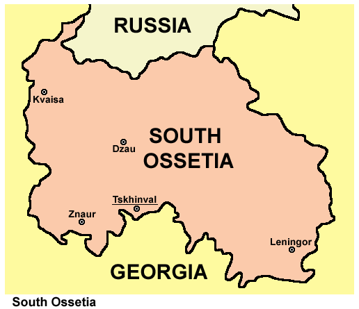
| 描述 | South Ossetia map. |
| 日期 | 2006年12月19號 (original upload date) |
| 來源 | 自己作品 |
| 作者 | PANONIAN |
Source and license

|
This map has been uploaded by Electionworld from en.wikipedia.org to enable the |
(self made map by user:PANONIAN)
協議
| I, the copyright holder of this work, release this work into the public domain. This applies worldwide. In some countries this may not be legally possible; if so: I grant anyone the right to use this work for any purpose, without any conditions, unless such conditions are required by law. |
References
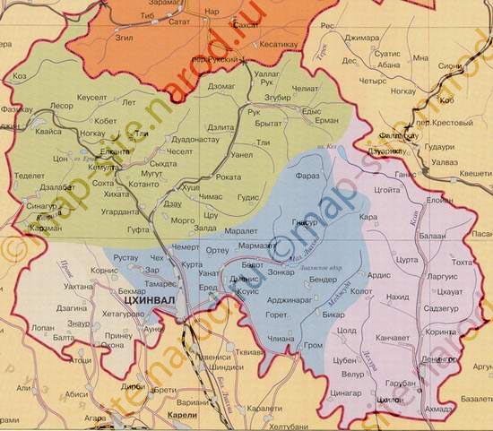
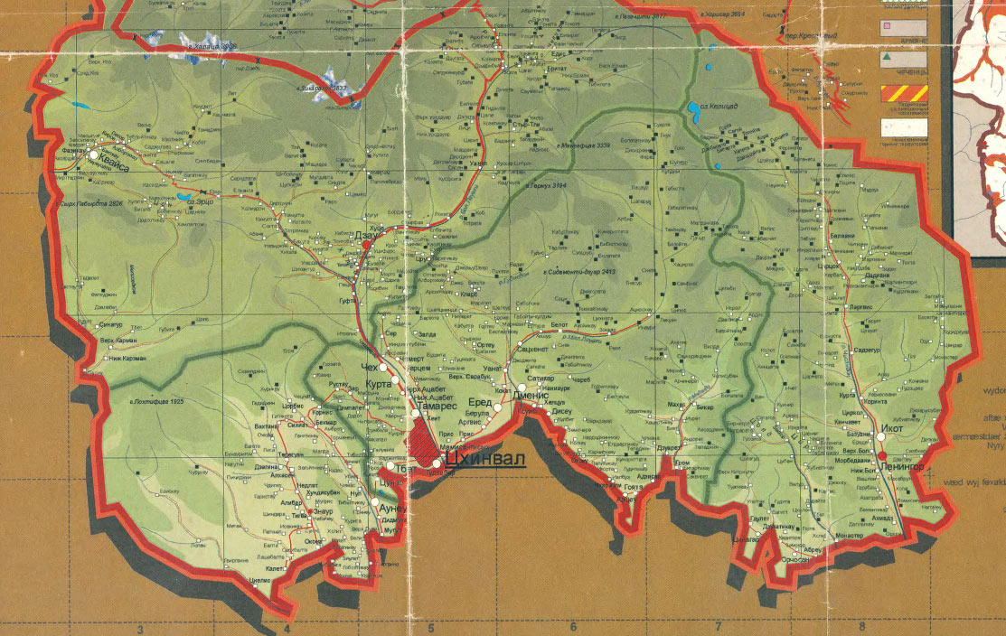
Maps from external links:
- http://map-site.narod.ru/ugoset-1.jpg
- http://joshberer.files.wordpress.com/2009/12/georgia-south-ossetia-13-september-2008.jpg
- http://reflow.scribd.com/2t5ytyrvuo8wp06/images/image-2.jpg
- http://www.jnews.am/files/South-OssetiaMap.jpg
- http://osgenocide.ru/uploads/posts/2011-07/1311012438_16638931.jpg
- http://novost.ge/wp-content/uploads/2011/08/49.jpg
- http://karty.narod.ru/maps/sosetia/s-osetia.GIF
- http://community-dpr.org/pics/republics/osetia/rso_map.jpg
- http://www.presidentrso.com/republic/S_ossetia_2008.jpg
- http://obkom.com/russia/fussr/osetiya-yuzhnaya/images/karta-osetia-sev-yuzh.jpg archive copy at the Wayback Machine
- http://www.runivers.ru/docandmat/osetia/map1.jpg
- http://courier-pskov.ru/uploads/posts/2008-08/1218702390_840.jpg
- http://img.beta.rian.ru/images/33320/35/333203514.jpg
- http://www.marshruty.ru/MapFiles/7/f/9/8/7f984f30b7b247b6931837cec0202018/large/autoossetia.jpg
- http://www.profi-forex.org/system/gallerydesc/b7b8d75e1513.jpg
- http://maps.gol.ge/image/sossetia.jpg
- http://nocss.ru/projects/10/images/map-1.jpg
- http://m.ruvr.ru/data/2012/02/29/1301736783/4осетия.jpg
檔案歷史
撳個日期/時間去睇響嗰個時間出現過嘅檔案。
| 日期/時間 | 縮圖 | 尺寸 | 用戶 | 註解 | |
|---|---|---|---|---|---|
| 現時 | 2012年6月17號 (日) 06:12 | | 516 × 445(22 KB) | PANONIAN | improved my own work |
| 2006年12月19號 (二) 22:52 |  | 303 × 243(7 KB) | Electionworld | {{ew|en|PANONIAN}} South Ossetia map (self made) {{PD-self}} Category:Maps of Georgia |
檔案用途
以下嘅1版用到呢個檔:
全域檔案使用情況
下面嘅維基都用緊呢個檔案:
- am.wikipedia.org嘅使用情況
- an.wikipedia.org嘅使用情況
- av.wikipedia.org嘅使用情況
- bat-smg.wikipedia.org嘅使用情況
- be-tarask.wikipedia.org嘅使用情況
- bg.wikipedia.org嘅使用情況
- br.wikipedia.org嘅使用情況
- bs.wikipedia.org嘅使用情況
- ca.wikipedia.org嘅使用情況
- ceb.wikipedia.org嘅使用情況
- crh.wikipedia.org嘅使用情況
- da.wikipedia.org嘅使用情況
- en.wikipedia.org嘅使用情況
- eo.wikipedia.org嘅使用情況
- et.wikipedia.org嘅使用情況
- fo.wikipedia.org嘅使用情況
- frp.wikipedia.org嘅使用情況
- fr.wikipedia.org嘅使用情況
- gv.wikipedia.org嘅使用情況
- hi.wikipedia.org嘅使用情況
- hi.wiktionary.org嘅使用情況
- ia.wikipedia.org嘅使用情況
- is.wikipedia.org嘅使用情況
- jv.wikipedia.org嘅使用情況
- ko.wikipedia.org嘅使用情況
- kv.wikipedia.org嘅使用情況
- kw.wikipedia.org嘅使用情況
- li.wikipedia.org嘅使用情況
- mai.wikipedia.org嘅使用情況
- mhr.wikipedia.org嘅使用情況
- mk.wikipedia.org嘅使用情況
- mzn.wikipedia.org嘅使用情況
- nds-nl.wikipedia.org嘅使用情況
- nn.wikipedia.org嘅使用情況
- nov.wikipedia.org嘅使用情況
- pnb.wikipedia.org嘅使用情況
- pt.wikipedia.org嘅使用情況
- ru.wikipedia.org嘅使用情況
- sco.wikipedia.org嘅使用情況
- sq.wikipedia.org嘅使用情況
- sr.wikipedia.org嘅使用情況
- su.wikipedia.org嘅使用情況
- szl.wikipedia.org嘅使用情況
- tg.wikipedia.org嘅使用情況
- tl.wikipedia.org嘅使用情況
- vo.wikipedia.org嘅使用情況