
File:Spain location map with provinces.svg

呢個「SVG」檔案嘅呢個「PNG」預覽嘅大細:699 × 600 像素。 第啲解像度:280 × 240 像素|559 × 480 像素|895 × 768 像素|1,193 × 1,024 像素|2,387 × 2,048 像素|1,184 × 1,016 像素。
原本檔案 (SVG檔案,表面大細: 1,184 × 1,016 像素,檔案大細:3.01 MB)
摘要
| 描述 |
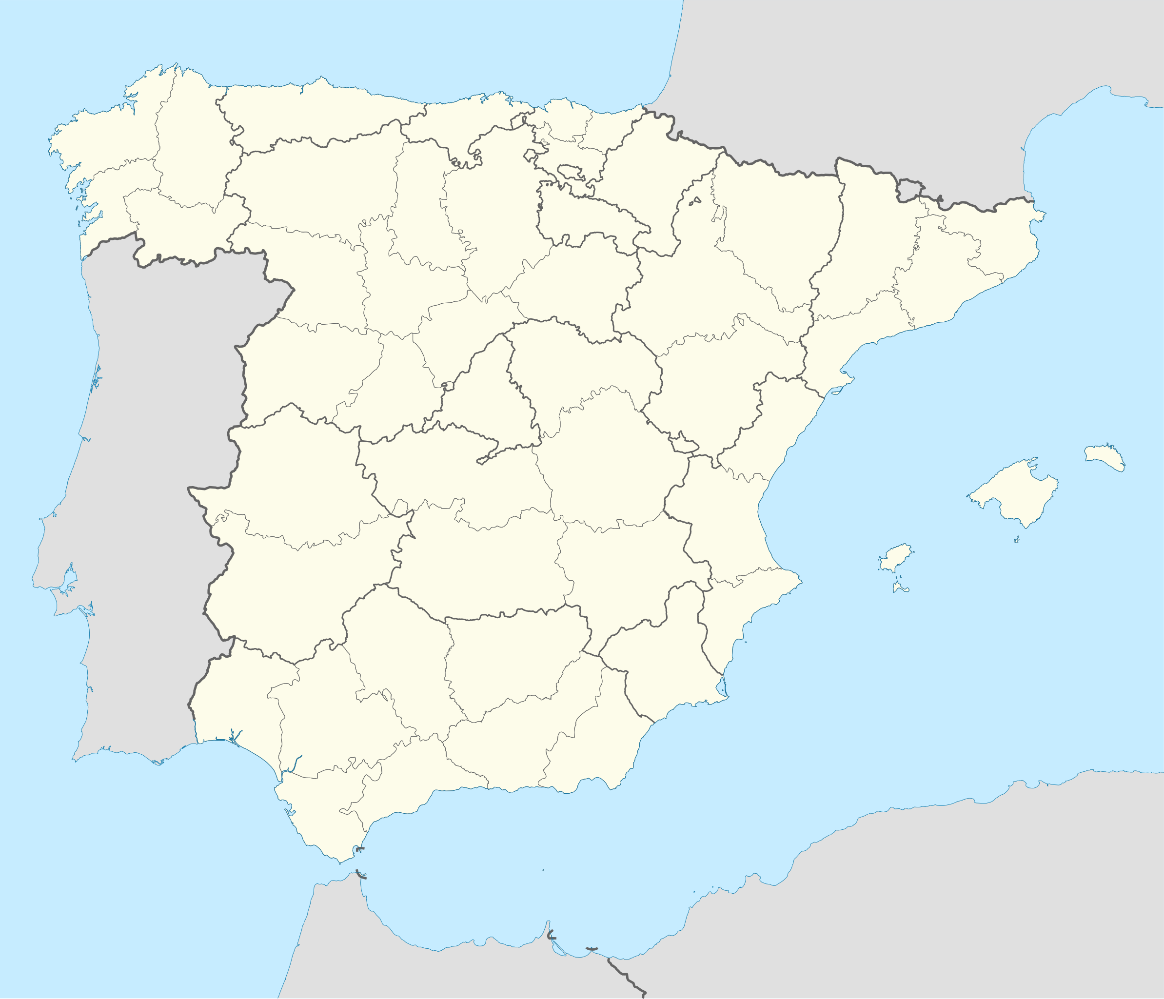
English: Location map of Spain
Equirectangular projection, N/S stretching 130 %. Geographic limits of the map:
Deutsch: Positionskarte von Spanien
Quadratische Plattkarte, N-S-Streckung 130 %. Geographische Begrenzung der Karte:
|
| 日期 | |
| 來源 |
Own work based on: ✦  Spain location map.svg by NNW Spain location map.svg by NNW✦  A Coruna in Spain.svg by TUBS A Coruna in Spain.svg by TUBS |
| 作者 | Roi González Villa (Vivaelcelta) |
| Other versions | Derivative works of this file: Spain location map.svg |
| SVG genesis | This W3C-invalid locator map was created with Adobe Illustrator by NordNordWest, and with Inkscape. This Adobe SVG locator map is very large because NordNordWest kept the superfluous Adobe PGF or other CDATA garbage . |
協議
I, the copyright holder of this work, hereby publish it under the following licenses:

|
根據自由軟體基金會發佈嘅無固定段落、封面文字同封底文字GNU自由文件授權條款第1.2或打後嘅版本,你獲授權可以重製、散佈同埋修改爾份文件。授權條款嘅副本喺章節GNU自由文件授權條款。 |
呢個檔案用共享創意 姓名標示-非商業性-相同方式分享3.0 未本地化版本條款授權。
- 你可以:
- 去分享 – 複製、發佈同傳播呢個作品
- 再改 – 創作演繹作品
- 要遵照下面嘅條件:
- 署名 – 你一定要畀合適嘅表彰、畀返指向呢個授權條款嘅連結,同埋寫明有無改過嚟。你可以用任何合理方式去做,但唔可以用任何方式暗示授權人認可咗你或者你嘅使用方式。
- 相同方式分享 – 如果你用任何方式改過呢個作品,你必須要用返原本或者相似嘅條款發佈。
你可以揀你想用嘅牌照。
檔案歷史
撳個日期/時間去睇響嗰個時間出現過嘅檔案。
| 日期/時間 | 縮圖 | 尺寸 | 用戶 | 註解 | |
|---|---|---|---|---|---|
| 現時 | 2019年9月23號 (一) 18:40 | | 1,184 × 1,016(3.01 MB) | Jonteemil | Reverted to version as of 07:14, 25 August 2014 (UTC) The version with the Canary islands shown was a so-called fake SVG and then it's better with a proper SVG without the Canary islands |
| 2018年3月9號 (五) 11:35 |  | 1,579 × 1,355(356 KB) | Brgesto | Added Canary Islands | |
| 2014年8月25號 (一) 07:14 |  | 1,184 × 1,016(3.01 MB) | Vivaelcelta | User created page with UploadWizard |
檔案用途
全域檔案使用情況
下面嘅維基都用緊呢個檔案:
- ast.wiktionary.org嘅使用情況
- ban.wikipedia.org嘅使用情況
- en.wikipedia.org嘅使用情況
- Alicante
- Abdera, Spain
- Barcelona
- Guernica
- Lleida
- Santiago de Compostela
- La Liga
- Formentera
- Badalona
- Mallorca
- Girona
- Tarragona
- Pamplona
- Menorca
- Camprodon
- Figueres
- Ibiza
- Valencia
- Martorell
- Zaragoza
- Cabrera, Balearic Islands
- Huesca
- Teruel
- Ripoll
- Terrassa
- Fraga
- Ejea de los Caballeros
- La Seu d'Urgell
- Astorga, Spain
- Reus
- Palma de Mallorca
- L'Hospitalet de Llobregat
- Mahón
- La Jonquera
- Castellón de la Plana
- Vitoria-Gasteiz
- El Pont de Suert
- Puigcerdà
- Balaguer
- Tremp
- Benabarre
- Tamarite de Litera
- Valderrobres
- Palamós
- Roses, Girona
- Tàrrega
- Mataró
睇呢個檔案嘅更多全域使用情況。