
File:Chile location map.svg

呢個「SVG」檔案嘅呢個「PNG」預覽嘅大細:267 × 600 像素。 第啲解像度:107 × 240 像素|213 × 480 像素|342 × 768 像素|455 × 1,024 像素|911 × 2,048 像素|1,183 × 2,658 像素。
原本檔案 (SVG檔案,表面大細: 1,183 × 2,658 像素,檔案大細:925 KB)
摘要
| 描述 |
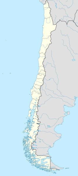
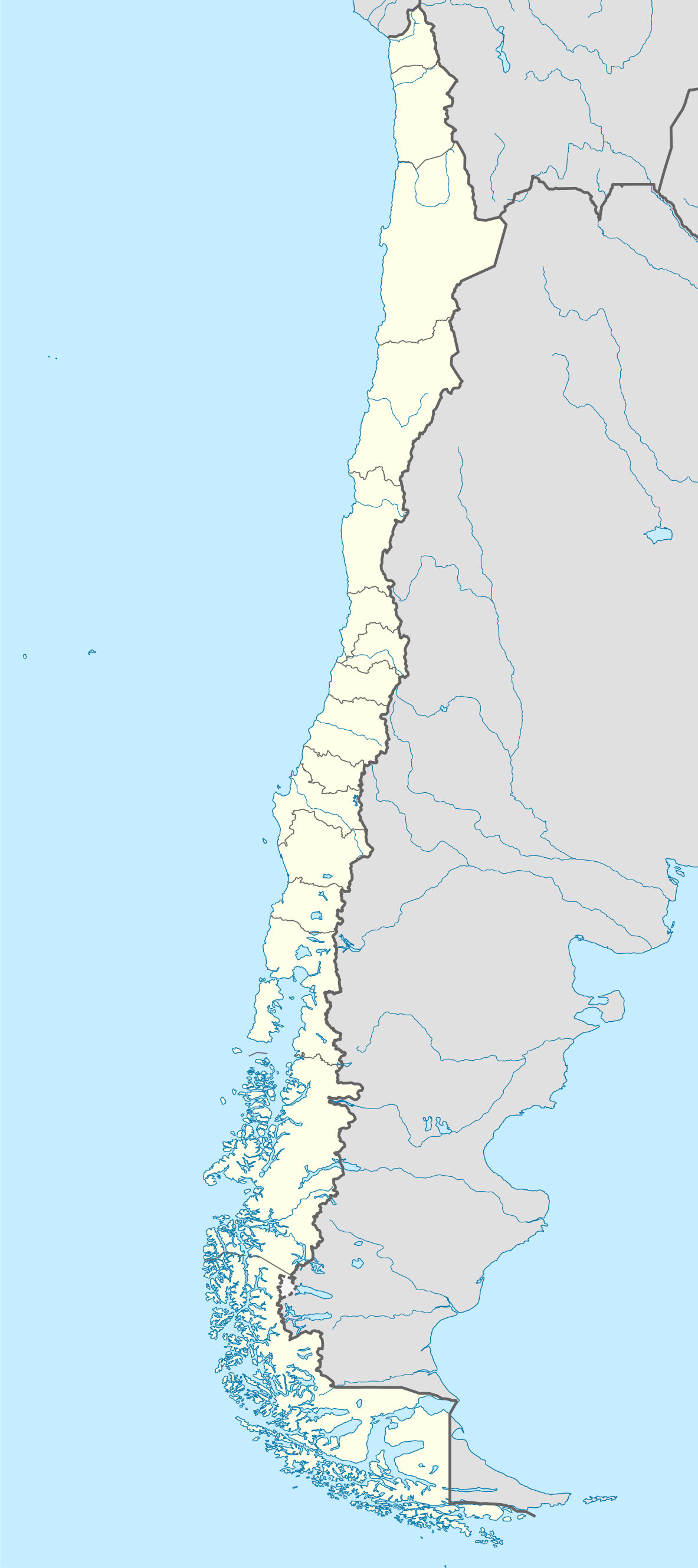
Deutsch: Positionskarte von Chile
Quadratische Plattkarte, N-S-Streckung 115 %. Geographische Begrenzung der Karte:
English: Location map of Chile
Equirectangular projection, N/S stretching 115 %. Geographic limits of the map:
Español: Mapa de localización de Chile
Proyección Equirectangular, N/S con una extensión de 115 %. Límites geográficos del mapa:
|
| 日期 | |
| 來源 |
own work, using
|
| 作者 | NordNordWest |
| Other versions |
Derivative works of this file:
|
.svg)
.svg)
.svg)
.svg)

|
This map has been made or improved in the German Kartenwerkstatt (Map Lab). You can propose maps to improve as well.
|
協議
I, the copyright holder of this work, hereby publish it under the following licenses:

|
根據自由軟體基金會發佈嘅無固定段落、封面文字同封底文字GNU自由文件授權條款第1.2或打後嘅版本,你獲授權可以重製、散佈同埋修改爾份文件。授權條款嘅副本喺章節GNU自由文件授權條款。 |
呢個檔案用共享創意 姓名標示-非商業性-相同方式分享3.0 未本地化版本條款授權。
- 你可以:
- 去分享 – 複製、發佈同傳播呢個作品
- 再改 – 創作演繹作品
- 要遵照下面嘅條件:
- 署名 – 你一定要畀合適嘅表彰、畀返指向呢個授權條款嘅連結,同埋寫明有無改過嚟。你可以用任何合理方式去做,但唔可以用任何方式暗示授權人認可咗你或者你嘅使用方式。
- 相同方式分享 – 如果你用任何方式改過呢個作品,你必須要用返原本或者相似嘅條款發佈。
你可以揀你想用嘅牌照。
檔案歷史
撳個日期/時間去睇響嗰個時間出現過嘅檔案。
| 日期/時間 | 縮圖 | 尺寸 | 用戶 | 註解 | |
|---|---|---|---|---|---|
| 現時 | 2023年8月15號 (二) 22:46 | | 1,183 × 2,658(925 KB) | Janitoalevic | Fixed Aysén & Magallanes and Chilean Antarctica Regions border. |
| 2018年9月5號 (三) 22:54 |  | 1,183 × 2,658(925 KB) | Janitoalevic | Ñuble Region | |
| 2017年12月3號 (日) 20:30 |  | 1,183 × 2,658(921 KB) | Janitoalevic | color error. | |
| 2017年12月3號 (日) 20:28 |  | 1,183 × 2,658(921 KB) | Janitoalevic | Fixed Argentina's Lake Nahuel Huapi | |
| 2017年12月3號 (日) 20:25 |  | 1,183 × 2,658(920 KB) | Janitoalevic | . | |
| 2017年12月2號 (六) 21:50 |  | 1,183 × 2,658(920 KB) | Janitoalevic | Fixed Argentina-Bolivia border | |
| 2017年12月2號 (六) 21:46 |  | 1,183 × 2,658(920 KB) | Janitoalevic | . | |
| 2017年8月30號 (三) 00:42 |  | 1,183 × 2,658(919 KB) | Janitoalevic | Fixed size | |
| 2017年8月20號 (日) 23:30 |  | 1,262 × 2,835(910 KB) | Janitoalevic | Removed Ñuble Region (Will be fully implemented in 2018) | |
| 2017年8月20號 (日) 01:00 |  | 1,262 × 2,835(914 KB) | Janitoalevic | Added Ñuble Region & more precise borders |
檔案用途
全域檔案使用情況
下面嘅維基都用緊呢個檔案:
- af.wikipedia.org嘅使用情況
- Antofagasta
- Pichilemu
- FIFA Sokker-Wêreldbekertoernooi in 1962
- Chillán
- Los Ángeles (Chili)
- Talcahuano
- Quinta Normal
- Temuco
- Puerto Montt
- Punta Arenas
- Coyhaique
- Valdivia
- Castro (Chili)
- San Pedro de la Paz
- Villa Alemana
- Sjabloon:Liggingkaart Chili
- Penco
- Hualpén
- Chiguayante
- Hualqui
- Coronel (Chili)
- Lota
- Tomé
- La Serena
- Arica
- Monte Águila (Chili)
- Arturo Merino Benítez Internasionale Lughawe
- als.wikipedia.org嘅使用情況
- an.wikipedia.org嘅使用情況
睇呢個檔案嘅更多全域使用情況。