
File:New South Wales locator-MJC.png
冇更高解像度嘅圖像。
New_South_Wales_locator-MJC.png (563 × 476 像素,檔案大細:12 KB ,MIME類型:image/png)

|
This locator map image could be recreated using vector graphics as an SVG file. This has several advantages; see Commons:Media for cleanup for more information. If an SVG form of this image is already available, please upload it. After uploading an SVG, replace this template with {{vector version available|new image name.svg}}.
|
摘要
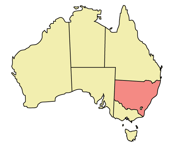
Map of Australia highlighting New South Wales
Made in Adobe Illustrator by Martynam and released under the GFDL
協議
| 呢個檔案用共享創意 姓名標示-非商業性-相同方式分享3.0 未本地化版本條款授權。 Subject to disclaimers. | ||
| ||
| This licensing tag was added to this file as part of the GFDL licensing update. |

|
根據自由軟體基金會發佈嘅無固定段落、封面文字同封底文字GNU自由文件授權條款第1.2或打後嘅版本,你獲授權可以重製、散佈同埋修改爾份文件。授權條款嘅副本喺章節GNU自由文件授權條款。 Subject to disclaimers. |
檔案歷史
撳個日期/時間去睇響嗰個時間出現過嘅檔案。
| 日期/時間 | 縮圖 | 尺寸 | 用戶 | 註解 | |
|---|---|---|---|---|---|
| 現時 | 2005年12月30號 (五) 22:48 | | 563 × 476(12 KB) | Snowdog | Map of Australia highlighting New South Wales Made in Adobe Illustrator by Martynam and released under the GFDL Category:Maps of Australia |
檔案用途
以下嘅1版用到呢個檔:
全域檔案使用情況
下面嘅維基都用緊呢個檔案:
- ar.wikipedia.org嘅使用情況
- ckb.wikipedia.org嘅使用情況
- cs.wikipedia.org嘅使用情況
- cy.wikipedia.org嘅使用情況
- de.wikipedia.org嘅使用情況
- en.wikipedia.org嘅使用情況
- User:99of9
- User:Stixpjr
- User:Nomadtales
- East Richmond railway station, Sydney
- Penshurst railway station, Sydney
- Punchbowl railway station
- Narrandera Airport
- User:SamJohnston
- User:Martyman/My Images/Maps
- Glenreagh Mountain Railway
- User:Grogan deYobbo
- RAAF Base Glenbrook
- Dochra Airfield
- Allandale railway station, New South Wales
- Cemetery Station No. 3 railway station
- Cemetery Station No. 2 railway station
- Rookwood railway station, Sydney
- Ballina Byron Gateway Airport
- User:RuthlessOne
- Palm Beach Water Airport
- Broken Hill railway line
- Stroud Road railway station
- Transport Construction Authority
- Lismore Airport
- Broken Hill Airport
- Coonamble Airport
- Griffith Airport
- Lightning Ridge Airport
- Bourke Airport
- Cobar Airport
- Walgett Airport
- Merimbula Airport
- Narrabri Airport
- Parkes Airport
- West Wyalong Airport
- Clyburn railway station
- Delec Platform railway station
- Hope Street Platform railway station
- Enfield South Platform railway station
- Cochrane railway station, Sydney
- Oaklands railway line, New South Wales
- Hay railway line
- Rankins Springs railway line
- Burcher railway line
- Tocumwal railway line, New South Wales
睇呢個檔案嘅更多全域使用情況。