
File:Canada Quebec location map 2.svg

呢個「SVG」檔案嘅呢個「PNG」預覽嘅大細:492 × 599 像素。 第啲解像度:197 × 240 像素|394 × 480 像素|630 × 768 像素|840 × 1,024 像素|1,681 × 2,048 像素|2,316 × 2,822 像素。
原本檔案 (SVG檔案,表面大細: 2,316 × 2,822 像素,檔案大細:2.56 MB)
| 描述 |
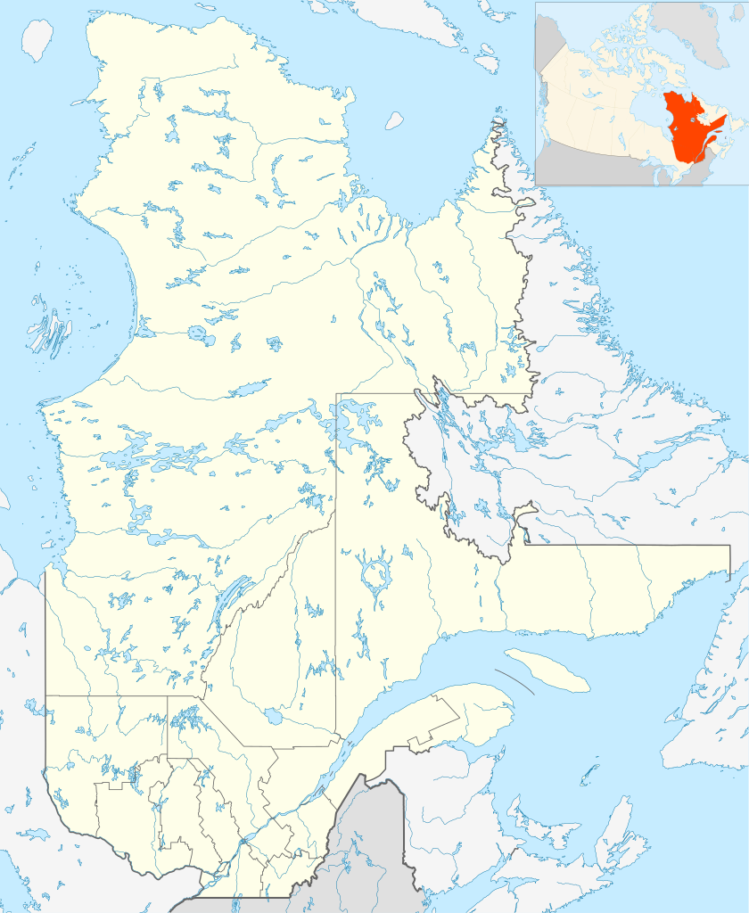
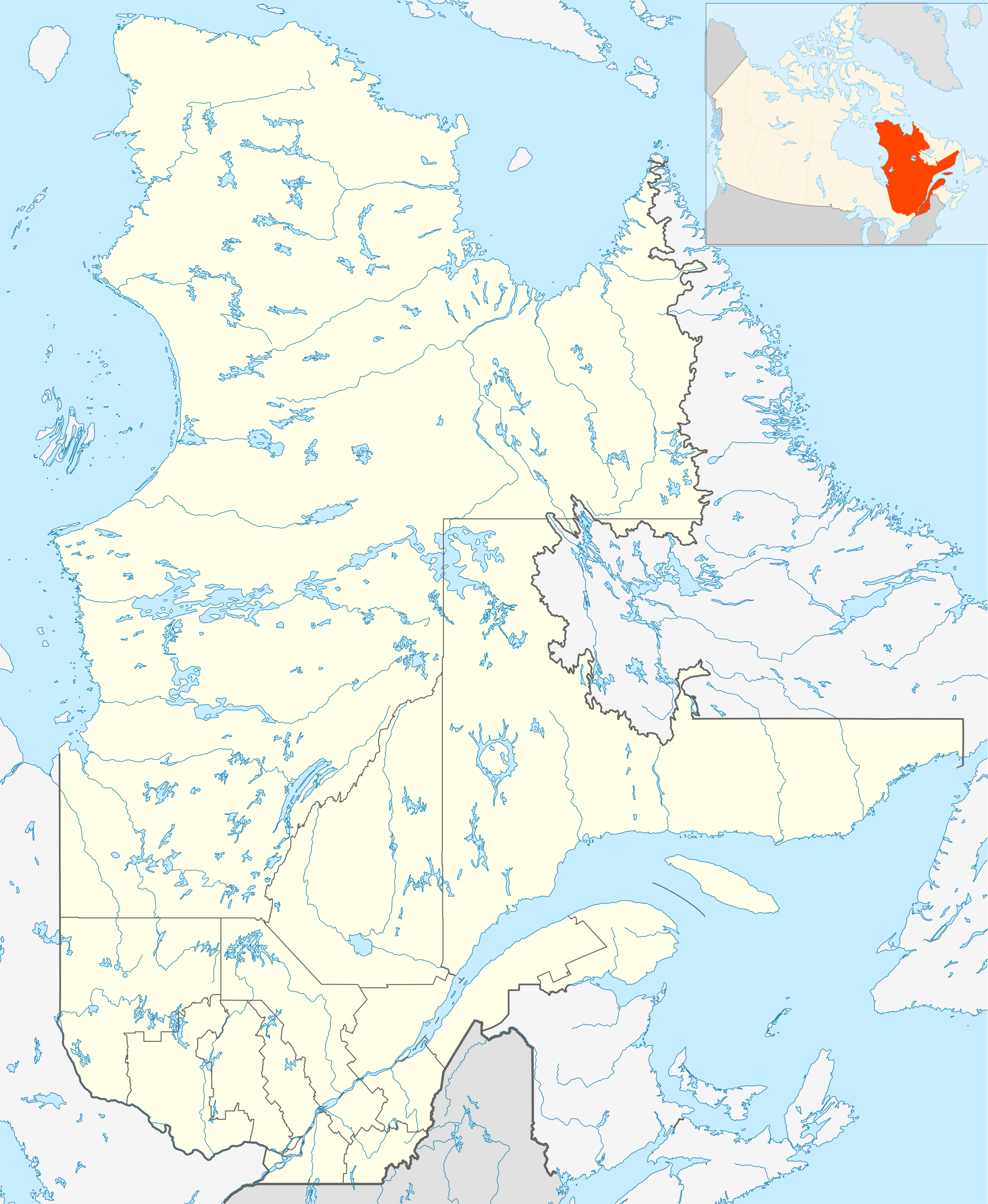
English: Québec Province within Canada.
Español: Provincia de Quebec en Canadá. |
| 日期 | |
| 來源 | Based on Image:Canada_Quebec_location_map.svg |
| 作者 | Hanhil (talk) 18:30, 24 September 2009 (UTC) based on EOZyo |
| I, the copyright holder of this work, release this work into the public domain. This applies worldwide. In some countries this may not be legally possible; if so: I grant anyone the right to use this work for any purpose, without any conditions, unless such conditions are required by law. |
檔案歷史
撳個日期/時間去睇響嗰個時間出現過嘅檔案。
| 日期/時間 | 縮圖 | 尺寸 | 用戶 | 註解 | |
|---|---|---|---|---|---|
| 現時 | 2009年9月24號 (四) 18:30 | | 2,316 × 2,822(2.56 MB) | Hanhil | {{Information |Description={{en|1=Québec Province within Canada.}} {{es|1=Provincia de Quebec en Canadá.}} |Source=Based on Image:Canada_Quebec_location_map.svg |Author=~~~~ based on EOZyo |Date=2009-09-24 |Permission= |other_version |
檔案用途
以下嘅2版用到呢個檔:
全域檔案使用情況
下面嘅維基都用緊呢個檔案:
- af.wikipedia.org嘅使用情況
- Montebello
- Baie-Comeau
- Charlesbourg
- Gatineau
- Laval, Quebec
- Trois-Rivières
- Saint-Hyacinthe
- Gaspé
- Thetford Mines
- Hull, Quebec
- Oka
- Sorel
- Tadoussac
- Saguenay
- Sainte-Anne-de-Beaupré
- Sherbrooke
- Longueuil
- Valcourt, Quebec
- Rouyn-Noranda
- Montreal-Wes
- Alma
- Sayabec
- Amqui
- Val-Brillant
- Rimouski
- Morin-Heights
- Granby, Quebec
- Sainte-Catherine, Quebec
- Westmount, Quebec
- ar.wikipedia.org嘅使用情況
- ast.wikipedia.org嘅使用情況
- azb.wikipedia.org嘅使用情況
- ban.wikipedia.org嘅使用情況
- be-tarask.wikipedia.org嘅使用情況
- bg.wikipedia.org嘅使用情況
- bn.wikipedia.org嘅使用情況
- ca.wikipedia.org嘅使用情況
- ceb.wikipedia.org嘅使用情況
- da.wikipedia.org嘅使用情況
- en.wikipedia.org嘅使用情況
睇呢個檔案嘅更多全域使用情況。