
File:China edcp location map.svg

呢個「SVG」檔案嘅呢個「PNG」預覽嘅大細:512 × 408 像素。 第啲解像度:301 × 240 像素|602 × 480 像素|964 × 768 像素|1,280 × 1,020 像素|2,560 × 2,040 像素。
原本檔案 (SVG檔案,表面大細: 512 × 408 像素,檔案大細:2.56 MB)
摘要
| 描述 |
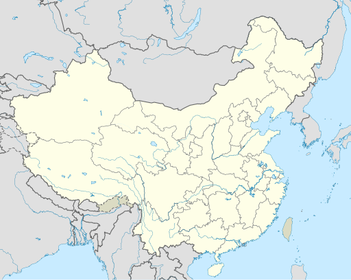
English: Location map of China.
EquiDistantConicProjection : Central parallel :
Central meridian :
Standard parallels:
Latitudes on the central meridian :
|
| 日期 | |
| 來源 | 自己作品 |
| 作者 | Uwe Dedering |
| Other versions |
Derivative works of this file:
|
| SVG genesis | This W3C-invalid map was created with Adobe Illustrator, and with Inkscape. |

協議
I, the copyright holder of this work, hereby publish it under the following licenses:
呢個檔案用共享創意 姓名標示-非商業性-相同方式分享3.0 未本地化版本條款授權。
- 你可以:
- 去分享 – 複製、發佈同傳播呢個作品
- 再改 – 創作演繹作品
- 要遵照下面嘅條件:
- 署名 – 你一定要畀合適嘅表彰、畀返指向呢個授權條款嘅連結,同埋寫明有無改過嚟。你可以用任何合理方式去做,但唔可以用任何方式暗示授權人認可咗你或者你嘅使用方式。
- 相同方式分享 – 如果你用任何方式改過呢個作品,你必須要用返原本或者相似嘅條款發佈。

|
根據自由軟體基金會發佈嘅無固定段落、封面文字同封底文字GNU自由文件授權條款第1.2或打後嘅版本,你獲授權可以重製、散佈同埋修改爾份文件。授權條款嘅副本喺章節GNU自由文件授權條款。 |
你可以揀你想用嘅牌照。
檔案歷史
撳個日期/時間去睇響嗰個時間出現過嘅檔案。
| 日期/時間 | 縮圖 | 尺寸 | 用戶 | 註解 | |
|---|---|---|---|---|---|
| 現時 | 2021年12月13號 (一) 04:10 | | 512 × 408(2.56 MB) | Maanshen | Update borders and land reclamation. |
| 2021年10月31號 (日) 02:44 |  | 512 × 408(2.54 MB) | Not logging in | Fix colored path shown as land in XInjiang and Gansu. | |
| 2021年10月31號 (日) 02:41 |  | 512 × 408(2.54 MB) | Not logging in | FIx | |
| 2021年10月31號 (日) 02:35 |  | 512 × 408(2.54 MB) | Not logging in | Corrected borders for Xinjiang, Qinghai, and Gansu provincial borders per request, see NordNordWest's talk page | |
| 2021年3月29號 (一) 12:32 |  | 512 × 408(2.36 MB) | 瑞丽江的河水 | Reverted to version as of 09:13, 22 February 2021 (UTC), disputed area, special color | |
| 2021年3月29號 (一) 07:40 |  | 1,181 × 940(4.07 MB) | Turbo Slayer 2021 | Reverted to version as of 02:23, 28 March 2021 (UTC)Firstly, Taiwan is not a part of China cause the Government of Taiwan is Republic of China. Southern Tibet is a part of India not China. That's all | |
| 2021年3月28號 (日) 14:08 |  | 512 × 408(2.36 MB) | 瑞丽江的河水 | Reverted to version as of 09:13, 22 February 2021 (UTC) | |
| 2021年3月28號 (日) 02:23 |  | 1,181 × 940(4.07 MB) | Turbo Slayer 2021 | Reverted to version as of 20:14, 31 August 2011 (UTC) | |
| 2021年2月22號 (一) 09:13 |  | 512 × 408(2.36 MB) | DokiDonkey | Fix | |
| 2021年2月19號 (五) 09:23 |  | 512 × 408(2.34 MB) | DokiDonkey | Change Trans-Karakoram Tract |
檔案用途
以下嘅25版用到呢個檔:
全域檔案使用情況
下面嘅維基都用緊呢個檔案:
- ace.wikipedia.org嘅使用情況
- af.wikipedia.org嘅使用情況
- Nanjing
- Groot Muur van China
- Sjabloon:Liggingkaart Volksrepubliek China
- Shangqiu
- Dongguan
- Wenzhou
- Zibo
- Suzhou, Jiangsu
- Kaifeng
- Qingdao
- Xiamen
- Shantou
- Wuxi
- Quanzhou
- Shijiazhuang
- Changsha
- Hefei
- Kunming
- Tangshan
- Ningbo
- Fuzhou
- Changzhou
- Taizhou, Zhejiang
- Ürümqi
- Guiyang
- Xuzhou
- Nanchang
- Lanzhou
- Anshan
- Yangzhou
- Nantong
- Hohhot
- Jilin (stad)
- Huainan
- Linyi
- Xiangtan
- Huizhou
- Baotou
- Nanyang
- Baoding
- Liuzhou
- Tai'an
- Fuyang
- Jiangmen
- Yinchuan
- Weifang
- Zhuhai
- Huangshi
睇呢個檔案嘅更多全域使用情況。