
File:Dirt road, Ondřejovsko (2).jpg

原本檔案 (3,456 × 2,592 像素,檔案大細:4.29 MB ,MIME類型:image/jpeg)
| 描述 |
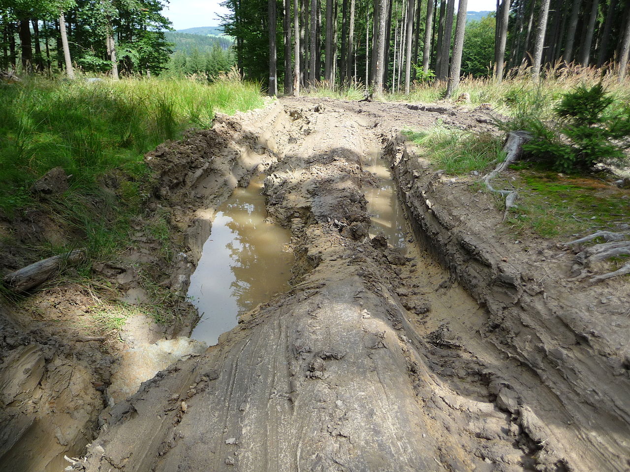
Čeština: Rozbahněná cesta po tahání klád lakatošem, Ondřejovko, okres Zlín English: Dirty road after pulling log by skidder, Ondřejovko, Zlín District |
||||
| 日期 | |||||
| 來源 |
自己作品 This photograph was taken with a Panasonic Lumix DMC-TZ5 This file was uploaded with Commonist. |
||||
| 作者 |
|
||||
| 許可 (重用呢個檔案) |
Pavel Ševela, the copyright holder of this work, hereby publishes it under the following license: 呢個檔案用共享創意 姓名標示-非商業性-相同方式分享3.0 未本地化版本條款授權。 姓名標示: Pavel Ševela
|
||||
.jpg)
.jpg?uselang=yue)
| Camera location | | View this and other nearby images on: OpenStreetMap |
|---|
.jpg¶ms=049.314980_N_0017.691474_E_globe:Earth_type:camera__&language=yue)
檔案歷史
撳個日期/時間去睇響嗰個時間出現過嘅檔案。
| 日期/時間 | 縮圖 | 尺寸 | 用戶 | 註解 | |
|---|---|---|---|---|---|
| 現時 | 2012年2月8號 (三) 15:12 | | 3,456 × 2,592(4.29 MB) | Sevela.p |
檔案用途
以下嘅1版用到呢個檔:
全域檔案使用情況
下面嘅維基都用緊呢個檔案:
- bs.wiktionary.org嘅使用情況
- en.wiktionary.org嘅使用情況
- www.wikidata.org嘅使用情況
.jpg)