
File:Equatorial Guinea location map.svg

呢個「SVG」檔案嘅呢個「PNG」預覽嘅大細:628 × 600 像素。 第啲解像度:251 × 240 像素|503 × 480 像素|804 × 768 像素|1,072 × 1,024 像素|2,144 × 2,048 像素|1,091 × 1,042 像素。
原本檔案 (SVG檔案,表面大細: 1,091 × 1,042 像素,檔案大細:155 KB)
摘要
| 描述 |
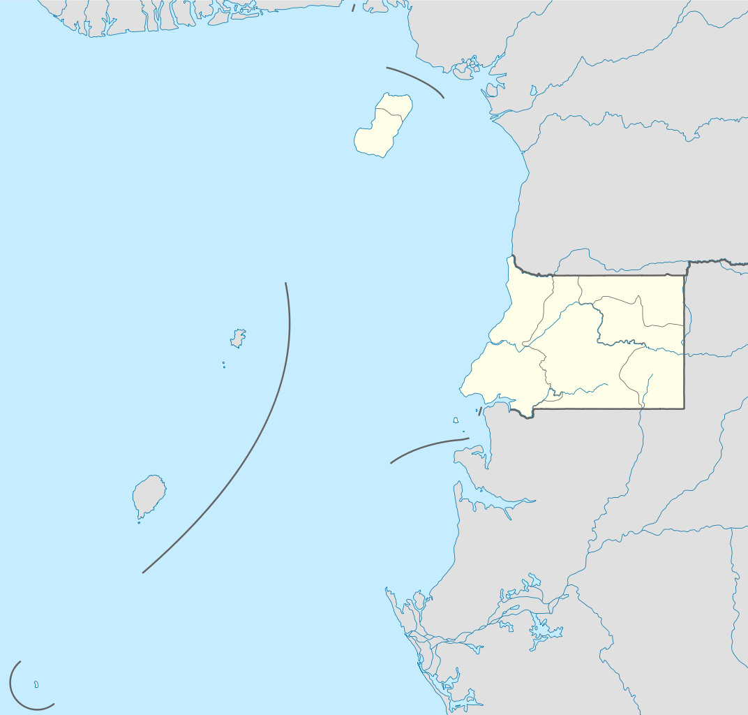
Deutsch: Positionskarte von Äquatorialguinea
Quadratische Plattkarte. Geographische Begrenzung der Karte:
English: Location map of Equatorial Guinea
Equirectangular projection. Geographic limits of the map:
|
| 日期 | |
| 來源 |
own work, using
|
| 作者 | NordNordWest |

|
This map has been made or improved in the German Kartenwerkstatt (Map Lab). You can propose maps to improve as well.
|
協議
I, the copyright holder of this work, hereby publish it under the following licenses:

|
根據自由軟體基金會發佈嘅無固定段落、封面文字同封底文字GNU自由文件授權條款第1.2或打後嘅版本,你獲授權可以重製、散佈同埋修改爾份文件。授權條款嘅副本喺章節GNU自由文件授權條款。 |
呢個檔案用共享創意 姓名標示-非商業性-相同方式分享3.0 未本地化版本條款授權。
- 你可以:
- 去分享 – 複製、發佈同傳播呢個作品
- 再改 – 創作演繹作品
- 要遵照下面嘅條件:
- 署名 – 你一定要畀合適嘅表彰、畀返指向呢個授權條款嘅連結,同埋寫明有無改過嚟。你可以用任何合理方式去做,但唔可以用任何方式暗示授權人認可咗你或者你嘅使用方式。
- 相同方式分享 – 如果你用任何方式改過呢個作品,你必須要用返原本或者相似嘅條款發佈。
你可以揀你想用嘅牌照。
檔案歷史
撳個日期/時間去睇響嗰個時間出現過嘅檔案。
| 日期/時間 | 縮圖 | 尺寸 | 用戶 | 註解 | |
|---|---|---|---|---|---|
| 現時 | 2011年11月7號 (一) 09:34 | | 1,091 × 1,042(155 KB) | NordNordWest | upd |
| 2011年10月23號 (日) 15:27 |  | 1,091 × 1,042(154 KB) | NordNordWest | another mistake fixed | |
| 2011年10月23號 (日) 15:19 |  | 1,091 × 1,042(154 KB) | NordNordWest | corrected | |
| 2011年10月23號 (日) 10:51 |  | 1,093 × 1,042(236 KB) | Waldyrious | If the colors are wrong, just fix them. Don't revert all the other handcrafted cleanup and structural improvements in the process. | |
| 2011年10月22號 (六) 16:35 |  | 1,093 × 1,042(250 KB) | NordNordWest | wrong colours | |
| 2011年10月22號 (六) 15:37 |  | 1,093 × 1,042(236 KB) | Waldyrious | cleanup & structure | |
| 2008年11月14號 (五) 16:46 |  | 1,093 × 1,042(250 KB) | NordNordWest | corrected | |
| 2008年11月14號 (五) 16:44 |  | 1,116 × 1,042(250 KB) | NordNordWest | {{Information |Description= {{de|Positionskarte von Äquatorialguinea}} Quadratische Plattkarte. Geographische Begrenzung der Karte: * N: 4.6° N * S: 1.7° S * W: 5.3° O * O: 11.9° O {{en|Location map of [[:en:Equatorial Guine |
檔案用途
以下嘅1版用到呢個檔:
全域檔案使用情況
下面嘅維基都用緊呢個檔案:
- af.wikipedia.org嘅使用情況
- am.wikipedia.org嘅使用情況
- ar.wikipedia.org嘅使用情況
- be-tarask.wikipedia.org嘅使用情況
- bg.wikipedia.org嘅使用情況
- bn.wikipedia.org嘅使用情況
- bs.wikipedia.org嘅使用情況
- ckb.wikipedia.org嘅使用情況
- el.wikipedia.org嘅使用情況
- es.wikipedia.org嘅使用情況
- eu.wikipedia.org嘅使用情況
- fa.wikipedia.org嘅使用情況
- fr.wikipedia.org嘅使用情況
- he.wikivoyage.org嘅使用情況
- kaa.wikipedia.org嘅使用情況
- kbd.wikipedia.org嘅使用情況
- kn.wikipedia.org嘅使用情況
- ko.wikipedia.org嘅使用情況
- ku.wikipedia.org嘅使用情況
- mk.wikipedia.org嘅使用情況
- ml.wikipedia.org嘅使用情況
- mr.wikipedia.org嘅使用情況
- ms.wikipedia.org嘅使用情況
- pa.wikipedia.org嘅使用情況
睇呢個檔案嘅更多全域使用情況。