
File:Europe-UK.svg

呢個「SVG」檔案嘅呢個「PNG」預覽嘅大細:713 × 600 像素。 第啲解像度:285 × 240 像素|571 × 480 像素|913 × 768 像素|1,218 × 1,024 像素|2,435 × 2,048 像素|2,045 × 1,720 像素。
原本檔案 (SVG檔案,表面大細: 2,045 × 1,720 像素,檔案大細:4.6 MB)
Iphone pro max
摘要
| 描述 | |
| 日期 | |
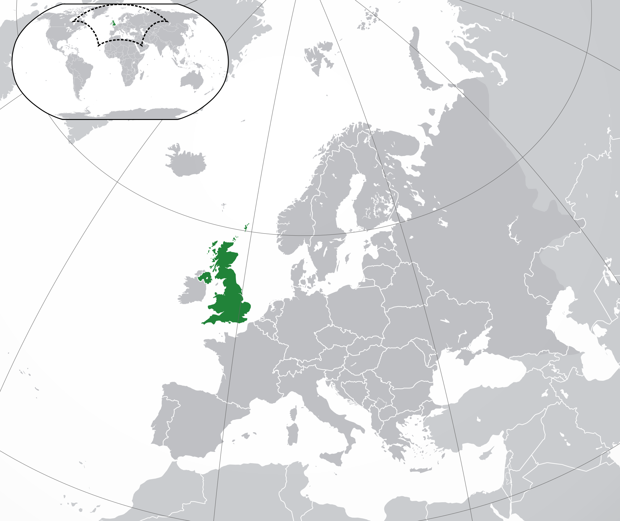
| 來源 | Own work based on: Location European nation states.svg |
| 作者 | Rob984 |
| Other versions |
|
| SVG genesis |

.svg)

.svg)
協議
我,呢份作品嘅作者,決定用以下許可發佈呢件作品:
This file is licensed under the Creative Commons Attribution-Share Alike 4.0 International license.
- 你可以:
- 去分享 – 複製、發佈同傳播呢個作品
- 再改 – 創作演繹作品
- 要遵照下面嘅條件:
- 署名 – 你一定要畀合適嘅表彰、畀返指向呢個授權條款嘅連結,同埋寫明有無改過嚟。你可以用任何合理方式去做,但唔可以用任何方式暗示授權人認可咗你或者你嘅使用方式。
- 相同方式分享 – 如果你用任何方式改過呢個作品,你必須要用返原本或者相似嘅條款發佈。
檔案歷史
撳個日期/時間去睇響嗰個時間出現過嘅檔案。
| 日期/時間 | 縮圖 | 尺寸 | 用戶 | 註解 | |
|---|---|---|---|---|---|
| 現時 | 2021年10月19號 (二) 23:05 | | 2,045 × 1,720(4.6 MB) | Rob984 | Cleanup |
| 2018年8月14號 (二) 13:26 |  | 2,045 × 1,720(7.33 MB) | Rob984 | Dotted disputed areas and changed Cyprus to the lighter shade of grey. | |
| 2018年8月2號 (四) 01:40 |  | 2,045 × 1,720(7.35 MB) | Rob984 | Reverted to version as of 17:10, 19 July 2016 (UTC) Gibraltar isn't UK proper | |
| 2018年4月24號 (二) 10:13 |  | 2,045 × 1,720(7.37 MB) | RaviC | + deps | |
| 2016年7月19號 (二) 17:10 |  | 2,045 × 1,720(7.35 MB) | Rob984 | User created page with UploadWizard |
檔案用途
以下嘅1版用到呢個檔:
全域檔案使用情況
下面嘅維基都用緊呢個檔案:
- ace.wikipedia.org嘅使用情況
- ady.wikipedia.org嘅使用情況
- af.wikipedia.org嘅使用情況
- af.wiktionary.org嘅使用情況
- als.wikipedia.org嘅使用情況
- ami.wikipedia.org嘅使用情況
- am.wikipedia.org嘅使用情況
- an.wikipedia.org嘅使用情況
- ar.wikipedia.org嘅使用情況
- مستخدم:ElWaliElAlaoui/ملعب 8
- معاملة المثليين في المملكة المتحدة
- مستخدم:جار الله/قائمة صور مقالات العلاقات الثنائية
- العلاقات الأنغولية البريطانية
- العلاقات البريطانية الكورية الجنوبية
- العلاقات البريطانية السويسرية
- العلاقات الألمانية البريطانية
- العلاقات البريطانية الإريترية
- العلاقات البريطانية الليختنشتانية
- العلاقات البريطانية البوليفية
- العلاقات البريطانية الموزمبيقية
- العلاقات الألبانية البريطانية
- العلاقات البريطانية البلجيكية
- العلاقات البريطانية الإثيوبية
- العلاقات البريطانية البيلاروسية
- العلاقات البريطانية الطاجيكستانية
- العلاقات البريطانية الرومانية
- العلاقات البريطانية الغامبية
- العلاقات البريطانية القبرصية
- العلاقات البريطانية السيراليونية
- العلاقات البريطانية النيبالية
- العلاقات البريطانية الليبيرية
- العلاقات التشيكية البريطانية
- العلاقات البريطانية الميانمارية
- العلاقات البريطانية المالية
- العلاقات البريطانية النيجيرية
- العلاقات البريطانية الكوبية
- العلاقات البريطانية الكورية الشمالية
- العلاقات البريطانية الناوروية
- العلاقات البريطانية الكوستاريكية
- العلاقات البريطانية اللاتفية
- العلاقات البريطانية اللوكسمبورغية
- العلاقات البريطانية الهندوراسية
- العلاقات البريطانية الليسوتوية
- العلاقات البريطانية المولدوفية
- العلاقات البريطانية المالاوية
- العلاقات البريطانية الكينية
- العلاقات البريطانية الماليزية
- العلاقات البريطانية الناميبية
- العلاقات البريطانية الليتوانية
- العلاقات البريطانية المنغولية
睇呢個檔案嘅更多全域使用情況。