
File:Germany location map.svg

呢個「SVG」檔案嘅呢個「PNG」預覽嘅大細:506 × 600 像素。 第啲解像度:202 × 240 像素|405 × 480 像素|648 × 768 像素|864 × 1,024 像素|1,728 × 2,048 像素|1,073 × 1,272 像素。
原本檔案 (SVG檔案,表面大細: 1,073 × 1,272 像素,檔案大細:452 KB)
摘要
| 描述 |
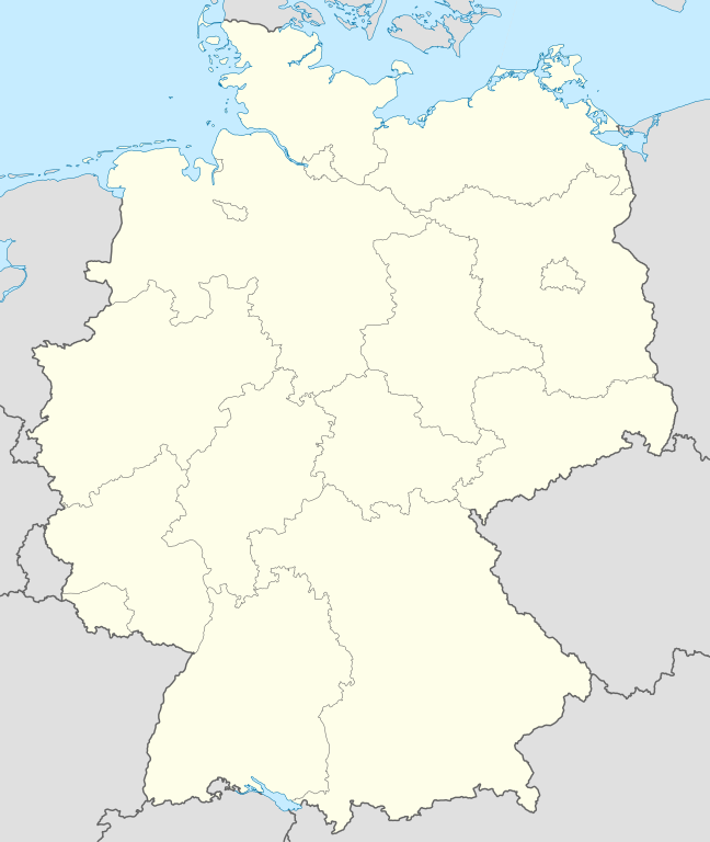
Quadratische Plattkarte, N-S-Streckung 150 %. Geographische Begrenzung der Karte:
Equirectangular projection, N/S stretching 150 %. Geographic limits of the map:
Français : Carte de l'Allemagne |
||
| 日期 | |||
| 來源 | 自己作品, using United States National Imagery and Mapping Agency data | ||
| 作者 | NordNordWest | ||
| Other versions |
Derivative works of this file:
Bundesrepublik Deutschland (vor 1990 nur West-Deutschland):
Deutsche Demokratische Republik (mit BRD im Ausschnitt):
Ostdeutschland (vor 1990 Deutsche Demokratische Republik):
Deutschland zwischen Mai 1945 und Oktober 1949:
Thematisch:
Deutsches Reich (1918–1945) (best used with this template (de)):
|
||
| SVG genesis | This W3C-invalid map was created with Adobe Illustrator.
|


_23_May_1949_-_6_Oct_1949.svg)


_location_map.svg)
_location_map_2013.svg)


_location_map.svg)
協議
I, the copyright holder of this work, hereby publish it under the following licenses:

|
根據自由軟體基金會發佈嘅無固定段落、封面文字同封底文字GNU自由文件授權條款第1.2或打後嘅版本,你獲授權可以重製、散佈同埋修改爾份文件。授權條款嘅副本喺章節GNU自由文件授權條款。 |
呢個檔案用共享創意 姓名標示-非商業性-相同方式分享3.0 未本地化版本條款授權。
- 你可以:
- 去分享 – 複製、發佈同傳播呢個作品
- 再改 – 創作演繹作品
- 要遵照下面嘅條件:
- 署名 – 你一定要畀合適嘅表彰、畀返指向呢個授權條款嘅連結,同埋寫明有無改過嚟。你可以用任何合理方式去做,但唔可以用任何方式暗示授權人認可咗你或者你嘅使用方式。
- 相同方式分享 – 如果你用任何方式改過呢個作品,你必須要用返原本或者相似嘅條款發佈。
你可以揀你想用嘅牌照。
檔案歷史
撳個日期/時間去睇響嗰個時間出現過嘅檔案。
| 日期/時間 | 縮圖 | 尺寸 | 用戶 | 註解 | |
|---|---|---|---|---|---|
| 現時 | 2013年9月16號 (一) 12:51 | | 1,073 × 1,272(452 KB) | SokoWiki | Clearer borders. |
| 2013年9月16號 (一) 08:34 |  | 1,073 × 1,272(452 KB) | NordNordWest | Reverted to version as of 12:32, 2 October 2012; didn't make anything better | |
| 2013年9月16號 (一) 08:34 |  | 1,073 × 1,272(452 KB) | NordNordWest | Reverted to version as of 12:32, 2 October 2012; didn't make anything better | |
| 2013年9月15號 (日) 20:08 |  | 1,073 × 1,272(451 KB) | SokoWiki | * | |
| 2012年10月2號 (二) 12:32 |  | 1,073 × 1,272(452 KB) | Palosirkka | Reverted to version as of 20:14, 5 August 2012 Location maps must remain very accurate | |
| 2012年10月2號 (二) 05:40 |  | 1,073 × 1,272(396 KB) | Palosirkka | Scrubbed with http://codedread.com/scour/ | |
| 2012年8月5號 (日) 20:14 |  | 1,073 × 1,272(452 KB) | NordNordWest | upd | |
| 2010年1月19號 (二) 10:03 |  | 1,073 × 1,272(490 KB) | NordNordWest | update | |
| 2009年7月22號 (三) 08:33 |  | 1,075 × 1,273(608 KB) | NordNordWest | c | |
| 2008年10月13號 (一) 14:36 |  | 1,075 × 1,273(606 KB) | NordNordWest |
檔案用途
以下嘅2版用到呢個檔:
全域檔案使用情況
下面嘅維基都用緊呢個檔案:
- af.wikipedia.org嘅使用情況
- als.wikipedia.org嘅使用情況
- Weil der Stadt
- Schopfheim
- Rheinfelden (Baden)
- Rümmingen
- Lörrach
- Kehl
- Steinen (Baden)
- Weil am Rhein
- Bad Säckingen
- Freiburg im Breisgau
- Schwörstadt
- Augsburg
- Zell im Wiesental
- Maulburg
- Offenburg
- Ötigheim
- Hamburg
- Renchen
- Konstanz
- Furtwangen im Schwarzwald
- Görwihl
- Ebringen
- Müllheim im Markgräflerland
- Pfaffenweiler
- Calw
- Au (Breisgau)
- Merzhausen
- Sölden (Schwarzwald)
- Schallstadt
- Bollschweil
- Ehrenkirchen
- Wittnau (Breisgau)
- Vörstetten
- Achern
- Wehr (Baden)
- Vogtsburg im Kaiserstuhl
睇呢個檔案嘅更多全域使用情況。