
File:Iraq location map.svg

呢個「SVG」檔案嘅呢個「PNG」預覽嘅大細:589 × 600 像素。 第啲解像度:236 × 240 像素|471 × 480 像素|754 × 768 像素|1,005 × 1,024 像素|2,011 × 2,048 像素|1,241 × 1,264 像素。
原本檔案 (SVG檔案,表面大細: 1,241 × 1,264 像素,檔案大細:232 KB)
摘要
| 描述 |
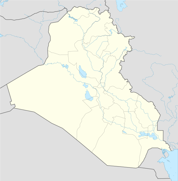
Deutsch: Positionskarte von Irak
Quadratische Plattkarte, N-S-Streckung 115 %. Geographische Begrenzung der Karte:
English: Location map of Iraq
Equirectangular projection, N/S stretching 115 %. Geographic limits of the map:
|
| 日期 | |
| 來源 |
Own work using:
|
| 作者 | NordNordWest |
| Other versions |
Derivative works of this file: |

|
This map has been made or improved in the German Kartenwerkstatt (Map Lab). You can propose maps to improve as well.
|
協議
I, the copyright holder of this work, hereby publish it under the following licenses:

|
根據自由軟體基金會發佈嘅無固定段落、封面文字同封底文字GNU自由文件授權條款第1.2或打後嘅版本,你獲授權可以重製、散佈同埋修改爾份文件。授權條款嘅副本喺章節GNU自由文件授權條款。 |
呢個檔案用共享創意 姓名標示-非商業性-相同方式分享3.0 未本地化版本條款授權。
- 你可以:
- 去分享 – 複製、發佈同傳播呢個作品
- 再改 – 創作演繹作品
- 要遵照下面嘅條件:
- 署名 – 你一定要畀合適嘅表彰、畀返指向呢個授權條款嘅連結,同埋寫明有無改過嚟。你可以用任何合理方式去做,但唔可以用任何方式暗示授權人認可咗你或者你嘅使用方式。
- 相同方式分享 – 如果你用任何方式改過呢個作品,你必須要用返原本或者相似嘅條款發佈。
你可以揀你想用嘅牌照。
檔案歷史
撳個日期/時間去睇響嗰個時間出現過嘅檔案。
| 日期/時間 | 縮圖 | 尺寸 | 用戶 | 註解 | |
|---|---|---|---|---|---|
| 現時 | 2017年11月8號 (三) 14:01 | | 1,241 × 1,264(232 KB) | Rob984 | reduced intensity of rivers in line with location scheme |
| 2014年6月17號 (二) 18:54 |  | 1,241 × 1,264(377 KB) | Spesh531 | without Halabja, status disputed | |
| 2014年6月14號 (六) 03:13 |  | 1,241 × 1,264(377 KB) | Spesh531 | adding many rivers (that are at least shown on an average Iraqi map) | |
| 2014年6月13號 (五) 01:09 |  | 1,241 × 1,264(312 KB) | Spesh531 | additional lakes, and adding halabja | |
| 2014年6月12號 (四) 23:13 |  | 1,241 × 1,264(313 KB) | Spesh531 | lakes | |
| 2008年8月21號 (四) 20:36 |  | 1,241 × 1,264(316 KB) | NordNordWest | {{Information |Description= {{de|Positionskarte von Irak}} Quadratische Plattkarte, N-S-Streckung 115 %. Geographische Begrenzung der Karte: * N: 37.7° N * S: 28.4° N * W: 38.4° O * O: 48.9° O {{en|Location map of Iraq}} Equi |
檔案用途
全域檔案使用情況
下面嘅維基都用緊呢個檔案:
- af.wikipedia.org嘅使用情況
- als.wikipedia.org嘅使用情況
- ar.wikipedia.org嘅使用情況
- العراق
- عبد الملك بن مروان
- أور
- إيسن
- إريدو
- كأس الخليج العربي 5
- دوري نجوم العراق
- الوركاء
- دير الربان هرمزد
- دير مار إيليا
- قائمة جامعات العراق
- أبو صلابيخ
- بحيرة ساوة
- عصر جمدة نصر
- سيبار
- دير مار متي
- قالب:خريطة مواقع العراق
- دير مار أوراها
- دير مار بهنام
- دير ناقورتايا
- قائمة سدود العراق
- كرسو
- شوروباك
- توتوب
- فترة أوروك
- تل عقير
- قاعدة القيارة الجوية
- قائمة مواقع التراث العالمي في العراق
- نفر
- قالب:خريطة مواقع الأندية العراقية
- وحدة:Location map/data/Iraq
- وحدة:Location map/data/Iraq/شرح
- قالب:المنشآت الجامعية في العراق
- قالب:خريطة مفصلة للتمرد العراقي
- قالب:خريطة مواقع التراث العالمي في العراق
- قالب:خريطة أهوار العراق
- مواجهات مطار سفوان
- تفجيرات بغداد (كانون الثاني 2017)
- بطولة اتحاد غرب آسيا لكرة القدم 2019
- هجوم صاروخي 2018 كردستان العراق
- اعتقال أمريكا لدبلوماسيين إيرانيين في أربيل
- تدافع كربلاء 2019
睇呢個檔案嘅更多全域使用情況。