
File:Kabul province mountain (8735703666).jpg
原本檔案 (5,383 × 2,641 像素,檔案大細:1.73 MB ,MIME類型:image/jpeg)
.jpg?uselang=yue)
摘要
| 描述 |
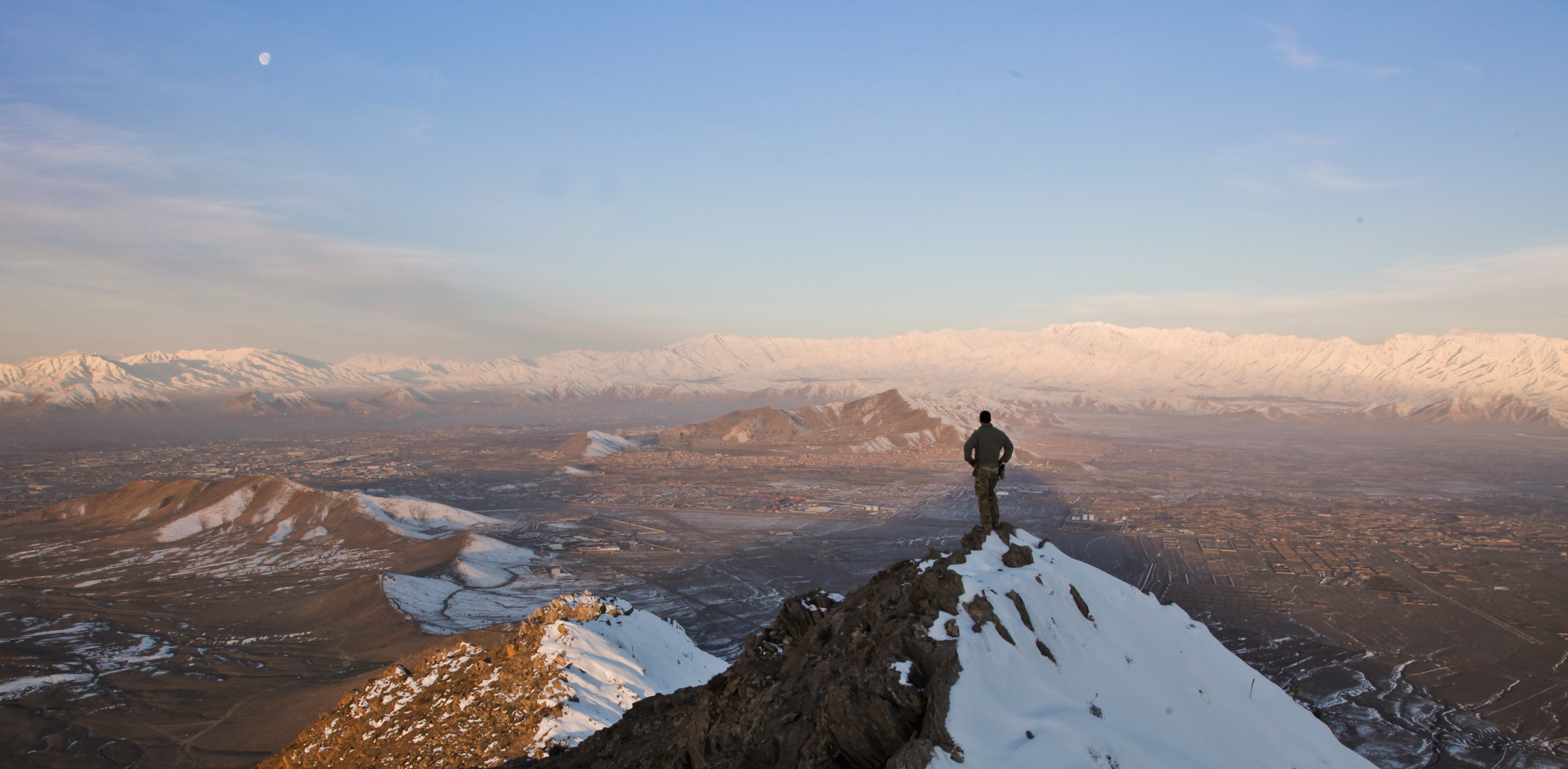
A coalition force member stands on top of a hill watching a snow-covered mountain range in Kabul province, Afghanistan, March 1, 2013. (U.S. Army photo by Sgt. Matthew Freire) A coalition force member stands on top of a hill watching a snow-covered mountain range in Kabul province, Afghanistan, March 1, 2013. (U.S. Army photo by Sgt. Matthew Freire) Photo by Sgt. Matthew Freire Date Taken:02.28.2013 Location:AF Read more: www.dvidshub.net/image/929452/kabul-province-mountain#.UZ... |
| 日期 | Taken on 2013年2月28號 22:10 |
| 來源 | Kabul province mountain |
| 作者 | DVIDSHUB |
| Camera location | | View this and other nearby images on: OpenStreetMap |
|---|
.jpg¶ms=033.930450_N_0067.678939_E_globe:Earth_type:camera_source:Flickr_&language=yue)
協議
Ĉi tiu dosiero estas disponebla laŭ la permesilo Krea Komunaĵo Atribuite 2.0 Ĝenerala.
- 你可以:
- 去分享 – 複製、發佈同傳播呢個作品
- 再改 – 創作演繹作品
- 要遵照下面嘅條件:
- 署名 – 你一定要畀合適嘅表彰、畀返指向呢個授權條款嘅連結,同埋寫明有無改過嚟。你可以用任何合理方式去做,但唔可以用任何方式暗示授權人認可咗你或者你嘅使用方式。
| This image was originally posted to Flickr by DVIDSHUB at https://flickr.com/photos/28650594@N03/8735703666. It was reviewed on 2016年11月28號 by FlickreviewR and was confirmed to be licensed under the terms of the cc-by-2.0. |
This image is a work of a U.S. military or Department of Defense employee, taken or made as part of that person's official duties. As a work of the U.S. federal government, the image is in the public domain in the United States.
|
 |
檔案歷史
撳個日期/時間去睇響嗰個時間出現過嘅檔案。
| 日期/時間 | 縮圖 | 尺寸 | 用戶 | 註解 | |
|---|---|---|---|---|---|
| 現時 | 2016年11月28號 (一) 03:39 | | 5,383 × 2,641(1.73 MB) | Reguyla | Transferred from Flickr via Flickr2Commons |
檔案用途
以下嘅1版用到呢個檔:
全域檔案使用情況
下面嘅維基都用緊呢個檔案:
- azb.wikipedia.org嘅使用情況
- ca.wikipedia.org嘅使用情況
- en.wikipedia.org嘅使用情況
- fa.wikipedia.org嘅使用情況
- he.wikipedia.org嘅使用情況
- ms.wikipedia.org嘅使用情況
- sd.wikipedia.org嘅使用情況
- simple.wikipedia.org嘅使用情況
- ta.wikipedia.org嘅使用情況
- vi.wikipedia.org嘅使用情況
- zh.wikipedia.org嘅使用情況
.jpg)