
File:Karte Oscarsborg.png

預覽大細:471 × 600 像素。 第啲解像度:188 × 240 像素|570 × 726 像素。
原本檔案 (570 × 726 像素,檔案大細:79 KB ,MIME類型:image/png)

|
This map image could be recreated using vector graphics as an SVG file. This has several advantages; see Commons:Media for cleanup for more information. If an SVG form of this image is already available, please upload it. After uploading an SVG, replace this template with {{vector version available|new image name.svg}}.
|
摘要
協議

|
根據自由軟體基金會發佈嘅無固定段落、封面文字同封底文字GNU自由文件授權條款第1.2或打後嘅版本,你獲授權可以重製、散佈同埋修改爾份文件。授權條款嘅副本喺章節GNU自由文件授權條款。 |
| 呢個檔案用共享創意 姓名標示-非商業性-相同方式分享3.0 未本地化版本條款授權。 | ||
| ||
| This licensing tag was added to this file as part of the GFDL licensing update. |
檔案歷史
撳個日期/時間去睇響嗰個時間出現過嘅檔案。
| 日期/時間 | 縮圖 | 尺寸 | 用戶 | 註解 | |
|---|---|---|---|---|---|
| 現時 | 2015年6月9號 (二) 00:29 | | 570 × 726(79 KB) | Cmdrjameson | Compressed with pngout. Reduced by 94kB (54% decrease). |
| 2005年4月7號 (四) 19:23 |  | 570 × 726(173 KB) | Markus Schweiss | Map refined with help of a norwegian wikipedian and his nautical chart of this area, sent by E-Mail to me {{GFDL}} | |
| 2005年4月4號 (一) 04:32 |  | 570 × 726(173 KB) | Markus Schweiss | Map correction {{GFDL}} | |
| 2005年4月3號 (日) 20:48 |  | 570 × 726(173 KB) | Markus Schweiss | Correction of the map, {{GFDL}} | |
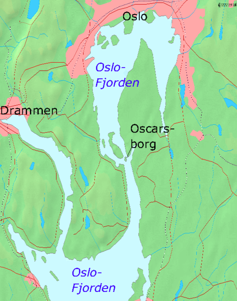
| 2005年4月3號 (日) 20:24 |  | 570 × 726(173 KB) | Markus Schweiss | Map of the Oslofjord and the fortress of Oscarsborg, Source of Map: [http://www2.demis.nl/mapserver/mapper.asp] {{GFDL}} Category:Norwegian history |
檔案用途
以下嘅1版用到呢個檔:
全域檔案使用情況
下面嘅維基都用緊呢個檔案:
- azb.wikipedia.org嘅使用情況
- bg.wikipedia.org嘅使用情況
- da.wikipedia.org嘅使用情況
- de.wikipedia.org嘅使用情況
- en.wikipedia.org嘅使用情況
- fr.wikipedia.org嘅使用情況
- hr.wikipedia.org嘅使用情況
- hu.wikipedia.org嘅使用情況
- id.wikipedia.org嘅使用情況
- it.wikipedia.org嘅使用情況
- ja.wikipedia.org嘅使用情況
- mk.wikipedia.org嘅使用情況
- nl.wikipedia.org嘅使用情況
- nn.wikipedia.org嘅使用情況
- no.wikipedia.org嘅使用情況
- pl.wikipedia.org嘅使用情況
- sr.wikipedia.org嘅使用情況
- sv.wikipedia.org嘅使用情況
- vi.wikipedia.org嘅使用情況
- zh.wikipedia.org嘅使用情況