
File:Karte der Provinzen (Niederlande) - nl.svg

呢個「SVG」檔案嘅呢個「PNG」預覽嘅大細:506 × 600 像素。 第啲解像度:202 × 240 像素|405 × 480 像素|648 × 768 像素|864 × 1,024 像素|1,727 × 2,048 像素|743 × 881 像素。
原本檔案 (SVG檔案,表面大細: 743 × 881 像素,檔案大細:1.54 MB)
_-_nl.svg?uselang=yue)
摘要
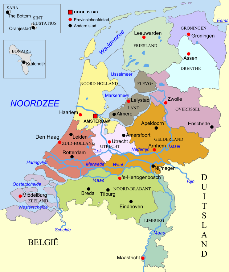
| 描述 | SVG kaart van Nederland met Provincies |
| 日期 | |
| 來源 | 自己作品 |
| 作者 | Hans Erren |
| Other versions | derived from file:Karte der Provinzen (Niederlande).svg |
.svg)
協議
我,呢份作品嘅作者,決定用以下許可發佈呢件作品:
呢個檔案用共享創意 姓名標示-非商業性-相同方式分享3.0 未本地化版本條款授權。
- 你可以:
- 去分享 – 複製、發佈同傳播呢個作品
- 再改 – 創作演繹作品
- 要遵照下面嘅條件:
- 署名 – 你一定要畀合適嘅表彰、畀返指向呢個授權條款嘅連結,同埋寫明有無改過嚟。你可以用任何合理方式去做,但唔可以用任何方式暗示授權人認可咗你或者你嘅使用方式。
- 相同方式分享 – 如果你用任何方式改過呢個作品,你必須要用返原本或者相似嘅條款發佈。
檔案歷史
撳個日期/時間去睇響嗰個時間出現過嘅檔案。
| 日期/時間 | 縮圖 | 尺寸 | 用戶 | 註解 | |
|---|---|---|---|---|---|
| 現時 | 2020年9月21號 (一) 19:10 | | 743 × 881(1.54 MB) | Hans Erren | update revised boundary prov. Utrecht 2019 |
| 2012年12月28號 (五) 20:50 |  | 743 × 881(1.54 MB) | Hans Erren | {{Information |Description ={{en|1=SVG kaart van Nederland met Provincies}} |Source ={{own}} |Author =Hans Erren |Date = |Permission = |other_versions = }} | |
| 2012年12月15號 (六) 14:57 |  | 743 × 881(1.56 MB) | Hans Erren | {{Information |Description ={{en|1=SVG map of the netherlands with provinces}} |Source ={{own}} |Author =Hans Erren |Date =1012-12-15 |Permission = |other_versions =derived from [[:file:Karte der Pro... | |
| 2012年12月9號 (日) 20:29 |  | 743 × 881(1.62 MB) | Hans Erren | {{Information |Description ={{nl|1=SVG kaart van Nederland met Provincies}} |Source =Own work |Author =Hans Erren |Date =2012-12-09 |Permission = |other_versions =derived from [[:file:Karte der Provi... | |
| 2012年12月9號 (日) 20:09 |  | 743 × 881(1.52 MB) | Hans Erren | {{Information |Description= SVG kaart van Nederland met Provincies |Source={{own}} |Date= |Author= Hans Erren |Permission= |other_versions= derived from file:Karte der Provinzen (Niederlande).svg }} [[Category:SVG maps of the ... |
.svg)
檔案用途
以下嘅1版用到呢個檔:
全域檔案使用情況
下面嘅維基都用緊呢個檔案:
- af.wikipedia.org嘅使用情況
- nl.wikipedia.org嘅使用情況
- qu.wikipedia.org嘅使用情況
- vi.wikipedia.org嘅使用情況
_-_nl.svg)