
File:Le Russey (Doubs) - mairie.JPG

原本檔案 (4,000 × 3,000 像素,檔案大細:2.27 MB ,MIME類型:image/jpeg)
_-_mairie.JPG?uselang=yue)
|
This building is indexed in the base Mérimée, a database of architectural heritage maintained by the French Ministry of Culture, under the reference PA25000032
|
摘要
| 描述 |
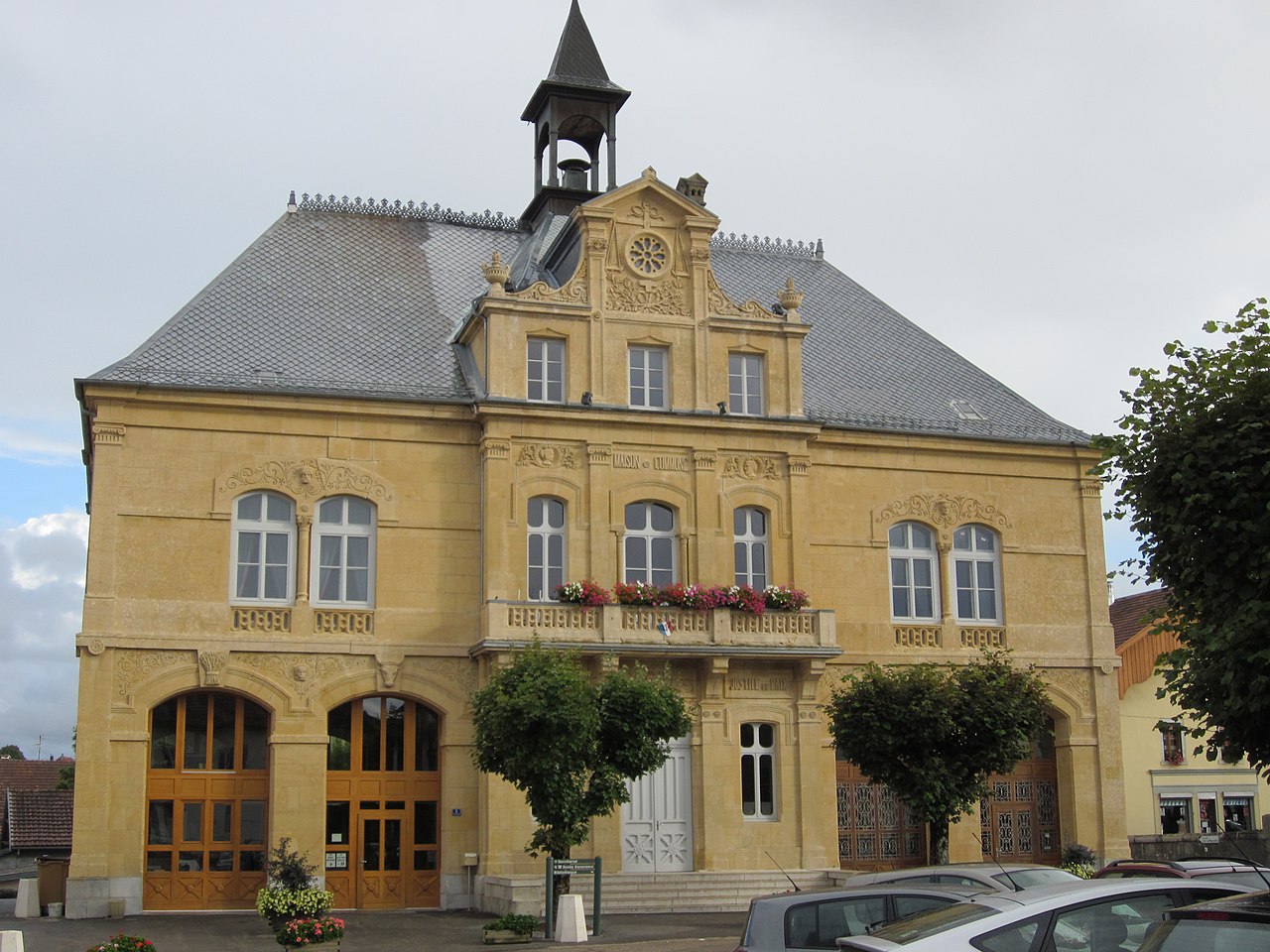
Français : mairie de Le Russey (département du Doubs) |
| 日期 | |
| 來源 | 自己作品 |
| 作者 | PRA |
| Object location | | View this and other nearby images on: OpenStreetMap |
|---|
_-_mairie.JPG¶ms=047.162400_N_0006.729300_E_globe:Earth_class:object_region:FR_type:landmark_scale:1500_&language=yue)
協議
I, the copyright holder of this work, hereby publish it under the following licenses:
呢個檔案用共享創意 姓名標示-非商業性-相同方式分享3.0 未本地化版本條款授權。
- 你可以:
- 去分享 – 複製、發佈同傳播呢個作品
- 再改 – 創作演繹作品
- 要遵照下面嘅條件:
- 署名 – 你一定要畀合適嘅表彰、畀返指向呢個授權條款嘅連結,同埋寫明有無改過嚟。你可以用任何合理方式去做,但唔可以用任何方式暗示授權人認可咗你或者你嘅使用方式。
- 相同方式分享 – 如果你用任何方式改過呢個作品,你必須要用返原本或者相似嘅條款發佈。

|
根據自由軟體基金會發佈嘅無固定段落、封面文字同封底文字GNU自由文件授權條款第1.2或打後嘅版本,你獲授權可以重製、散佈同埋修改爾份文件。授權條款嘅副本喺章節GNU自由文件授權條款。 |
你可以揀你想用嘅牌照。
檔案歷史
撳個日期/時間去睇響嗰個時間出現過嘅檔案。
| 日期/時間 | 縮圖 | 尺寸 | 用戶 | 註解 | |
|---|---|---|---|---|---|
| 現時 | 2010年9月28號 (二) 11:40 | | 4,000 × 3,000(2.27 MB) | PRA | {{Information |Description={{fr|1=mairie de Le Russey (département du Doubs)}} |Source={{own}} |Author=PRA |Date=09/2010 |Permission= |other_versions= }} Category:Doubs |
檔案用途
以下嘅1版用到呢個檔:
全域檔案使用情況
下面嘅維基都用緊呢個檔案:
- ast.wikipedia.org嘅使用情況
- ca.wikipedia.org嘅使用情況
- ceb.wikipedia.org嘅使用情況
- ce.wikipedia.org嘅使用情況
- de.wikipedia.org嘅使用情況
- el.wikipedia.org嘅使用情況
- en.wikipedia.org嘅使用情況
- eo.wikipedia.org嘅使用情況
- es.wikipedia.org嘅使用情況
- eu.wikipedia.org嘅使用情況
- fr.wikipedia.org嘅使用情況
- hu.wikipedia.org嘅使用情況
- it.wikipedia.org嘅使用情況
- ku.wikipedia.org嘅使用情況
- la.wikipedia.org嘅使用情況
- lld.wikipedia.org嘅使用情況
- ms.wikipedia.org嘅使用情況
- nl.wikipedia.org嘅使用情況
- oc.wikipedia.org嘅使用情況
- pl.wikipedia.org嘅使用情況
- pt.wikipedia.org嘅使用情況
- simple.wikipedia.org嘅使用情況
- sk.wikipedia.org嘅使用情況
- sl.wikipedia.org嘅使用情況
- sv.wikipedia.org嘅使用情況
- tt.wikipedia.org嘅使用情況
- uk.wikipedia.org嘅使用情況
- uz.wikipedia.org嘅使用情況
- vec.wikipedia.org嘅使用情況
- vo.wikipedia.org嘅使用情況
- www.wikidata.org嘅使用情況
- zh-min-nan.wikipedia.org嘅使用情況
- zh.wikipedia.org嘅使用情況
_-_mairie.JPG)