
File:Locatie Bohaizee.PNG
冇更高解像度嘅圖像。
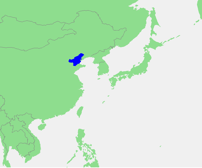
Locatie_Bohaizee.PNG (650 × 540 像素,檔案大細:14 KB ,MIME類型:image/png)
| 描述 | Bohai Sea | ||||
| 來源 | own work based on PD map | ||||
| 作者 | edited by M.Minderhoud | ||||
| 許可 (重用呢個檔案) |
|
檔案歷史
撳個日期/時間去睇響嗰個時間出現過嘅檔案。
| 日期/時間 | 縮圖 | 尺寸 | 用戶 | 註解 | |
|---|---|---|---|---|---|
| 現時 | 2012年6月30號 (六) 10:35 | | 650 × 540(14 KB) | Baomi | 去除左边部分,避免出现藏南地区 |
| 2006年9月17號 (日) 14:38 |  | 772 × 541(21 KB) | Michiel1972 | {{Information |Description= Bohai Sea |Source= own work based on PD map |Date= |Author= edited by M.Minderhoud |Permission= {{PD-Demis}} |other_versions= }} category:Locator maps of seas |
檔案用途
以下嘅1版用到呢個檔:
全域檔案使用情況
下面嘅維基都用緊呢個檔案:
- an.wikipedia.org嘅使用情況
- ar.wikipedia.org嘅使用情況
- ast.wikipedia.org嘅使用情況
- ca.wikipedia.org嘅使用情況
- cdo.wikipedia.org嘅使用情況
- es.wikipedia.org嘅使用情況
- eu.wikipedia.org嘅使用情況
- fy.wikipedia.org嘅使用情況
- gl.wikipedia.org嘅使用情況
- he.wikipedia.org嘅使用情況
- id.wikipedia.org嘅使用情況
- ilo.wikipedia.org嘅使用情況
- ka.wikipedia.org嘅使用情況
- la.wikipedia.org嘅使用情況
- mk.wikipedia.org嘅使用情況
- mr.wikipedia.org嘅使用情況
- mzn.wikipedia.org嘅使用情況
- pt.wikipedia.org嘅使用情況
- sc.wikipedia.org嘅使用情況
- sl.wikipedia.org嘅使用情況
- uk.wikipedia.org嘅使用情況
- ur.wikipedia.org嘅使用情況
- www.wikidata.org嘅使用情況
- xmf.wikipedia.org嘅使用情況
- zh.wikipedia.org嘅使用情況
- zh.wiktionary.org嘅使用情況