
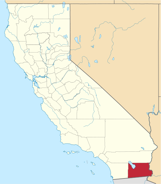
File:Map of California highlighting Imperial County.svg

呢個「SVG」檔案嘅呢個「PNG」預覽嘅大細:523 × 599 像素。 第啲解像度:209 × 240 像素|419 × 480 像素|670 × 768 像素|894 × 1,024 像素|1,787 × 2,048 像素|1,022 × 1,171 像素。
原本檔案 (SVG檔案,表面大細: 1,022 × 1,171 像素,檔案大細:489 KB)
摘要
David Benbennick made this map. For more information, see Commons:United States county locator maps.
| I, the copyright holder of this work, release this work into the public domain. This applies worldwide. In some countries this may not be legally possible; if so: I grant anyone the right to use this work for any purpose, without any conditions, unless such conditions are required by law. |
Other Versions
.svg)
檔案歷史
撳個日期/時間去睇響嗰個時間出現過嘅檔案。
| 日期/時間 | 縮圖 | 尺寸 | 用戶 | 註解 | |
|---|---|---|---|---|---|
| 現時 | 2016年11月25號 (五) 18:28 | | 1,022 × 1,171(489 KB) | Spartan7W | Update HQ map |
| 2006年2月12號 (日) 10:25 |  | 9,164 × 10,536(229 KB) | David Benbennick | {{subst:User:Dbenbenn/clm|county=Imperial County|state=California}} |
檔案用途
以下嘅1版用到呢個檔:
全域檔案使用情況
下面嘅維基都用緊呢個檔案:
- ban.wikipedia.org嘅使用情況
- bpy.wikipedia.org嘅使用情況
- ca.wikipedia.org嘅使用情況
- Reserva índia de Torres Martínez
- Calexico
- Bombay Beach
- Brawley
- Calipatria
- Desert Shores
- El Centro
- Heber (Califòrnia)
- Holtville
- Imperial (Califòrnia)
- Niland
- Ocotillo
- Palo Verde
- Salton City
- Salton Sea Beach
- Seeley (Califòrnia)
- Westmorland (Califòrnia)
- Winterhaven
- Plantilla:Comtat d'Imperial
- Llista de comtats de Califòrnia
- Categoria:Entitats de població del comtat d'Imperial
- Reserva índia Fort Yuma
- cs.wikipedia.org嘅使用情況
- da.wikipedia.org嘅使用情況
- de.wikipedia.org嘅使用情況
- en.wikipedia.org嘅使用情況
睇呢個檔案嘅更多全域使用情況。