
File:North Hertfordshire UK locator map.svg

呢個「SVG」檔案嘅呢個「PNG」預覽嘅大細:800 × 557 像素。 第啲解像度:320 × 223 像素|640 × 446 像素|1,024 × 713 像素|1,280 × 891 像素|2,560 × 1,782 像素|1,425 × 992 像素。
原本檔案 (SVG檔案,表面大細: 1,425 × 992 像素,檔案大細:846 KB)
| 描述 |
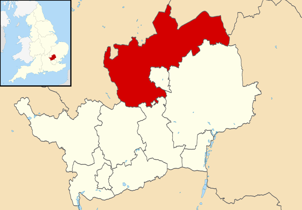
Map of Hertfordshire, UK with North Hertfordshire highlighted. Equirectangular map projection on WGS 84 datum, with N/S stretched 160% |
| 日期 | |
| 來源 |
|
| 作者 | Nilfanion, created using Ordnance Survey data |
| 許可 (重用呢個檔案) |
呢個檔案用共享創意 姓名標示-非商業性-相同方式分享3.0 未本地化版本條款授權。 姓名標示: Contains Ordnance Survey data © Crown copyright and database right
|
檔案歷史
撳個日期/時間去睇響嗰個時間出現過嘅檔案。
| 日期/時間 | 縮圖 | 尺寸 | 用戶 | 註解 | |
|---|---|---|---|---|---|
| 現時 | 2011年8月3號 (三) 22:50 | | 1,425 × 992(846 KB) | Nilfanion | {{Information |Description=Map of Hertfordshire, UK with North Hertfordshire highlighted. Equirectangular map projection on WGS 84 datum, with N/S stretched 160% |Source=Ordnance Survey |
檔案用途
以下嘅1版用到呢個檔:
全域檔案使用情況
下面嘅維基都用緊呢個檔案:
- cy.wikipedia.org嘅使用情況
- en.wikipedia.org嘅使用情況
- es.wikipedia.org嘅使用情況
- frr.wikipedia.org嘅使用情況
- fr.wikipedia.org嘅使用情況
- Letchworth Garden City
- Hitchin
- Ickleford
- Knebworth
- Baldock
- Royston (Hertfordshire)
- Ashwell (Hertfordshire)
- North Hertfordshire
- St Ippolyts
- Nuthampstead
- Reed (Royaume-Uni)
- Liste des paroisses civiles du Hertfordshire
- Barley (Hertfordshire)
- Barkway
- Modèle:Palette North Hertfordshire
- Bygrave
- Caldecote (Hertfordshire)
- Clothall
- Codicote
- Graveley (Hertfordshire)
- Great Ashby
- Hexton
- Hinxworth
- Holwell (Hertfordshire)
- Kelshall
- Kimpton (Hertfordshire)
- King's Walden
- Langley (Hertfordshire)
- Lilley (Hertfordshire)
- Newnham (Hertfordshire)
- Offley
- Pirton (Hertfordshire)
- Preston (Hertfordshire)
- Radwell (Hertfordshire)
- Rushden (Hertfordshire)
- Sandon (Hertfordshire)
- St Paul's Walden
- Therfield
- Wallington (Hertfordshire)
- Weston (Hertfordshire)
- Wymondley
- ja.wikipedia.org嘅使用情況
- ko.wikipedia.org嘅使用情況
- no.wikipedia.org嘅使用情況
睇呢個檔案嘅更多全域使用情況。