
File:Saint-Pons-de-Thomières vue generale.JPG
原本檔案 (3,408 × 2,233 像素,檔案大細:3.49 MB ,MIME類型:image/jpeg)
摘要
| Camera location | | View this and other nearby images on: OpenStreetMap |
|---|
| 描述 | |
| 日期 | |
| 來源 | 自己作品 |
| 作者 | Fagairolles 34 |
協議
我,呢份作品嘅作者,決定用以下許可發佈呢件作品:
This file is licensed under the Creative Commons Attribution-Share Alike 4.0 International license.
- 你可以:
- 去分享 – 複製、發佈同傳播呢個作品
- 再改 – 創作演繹作品
- 要遵照下面嘅條件:
- 署名 – 你一定要畀合適嘅表彰、畀返指向呢個授權條款嘅連結,同埋寫明有無改過嚟。你可以用任何合理方式去做,但唔可以用任何方式暗示授權人認可咗你或者你嘅使用方式。
- 相同方式分享 – 如果你用任何方式改過呢個作品,你必須要用返原本或者相似嘅條款發佈。
檔案歷史
撳個日期/時間去睇響嗰個時間出現過嘅檔案。
| 日期/時間 | 縮圖 | 尺寸 | 用戶 | 註解 | |
|---|---|---|---|---|---|
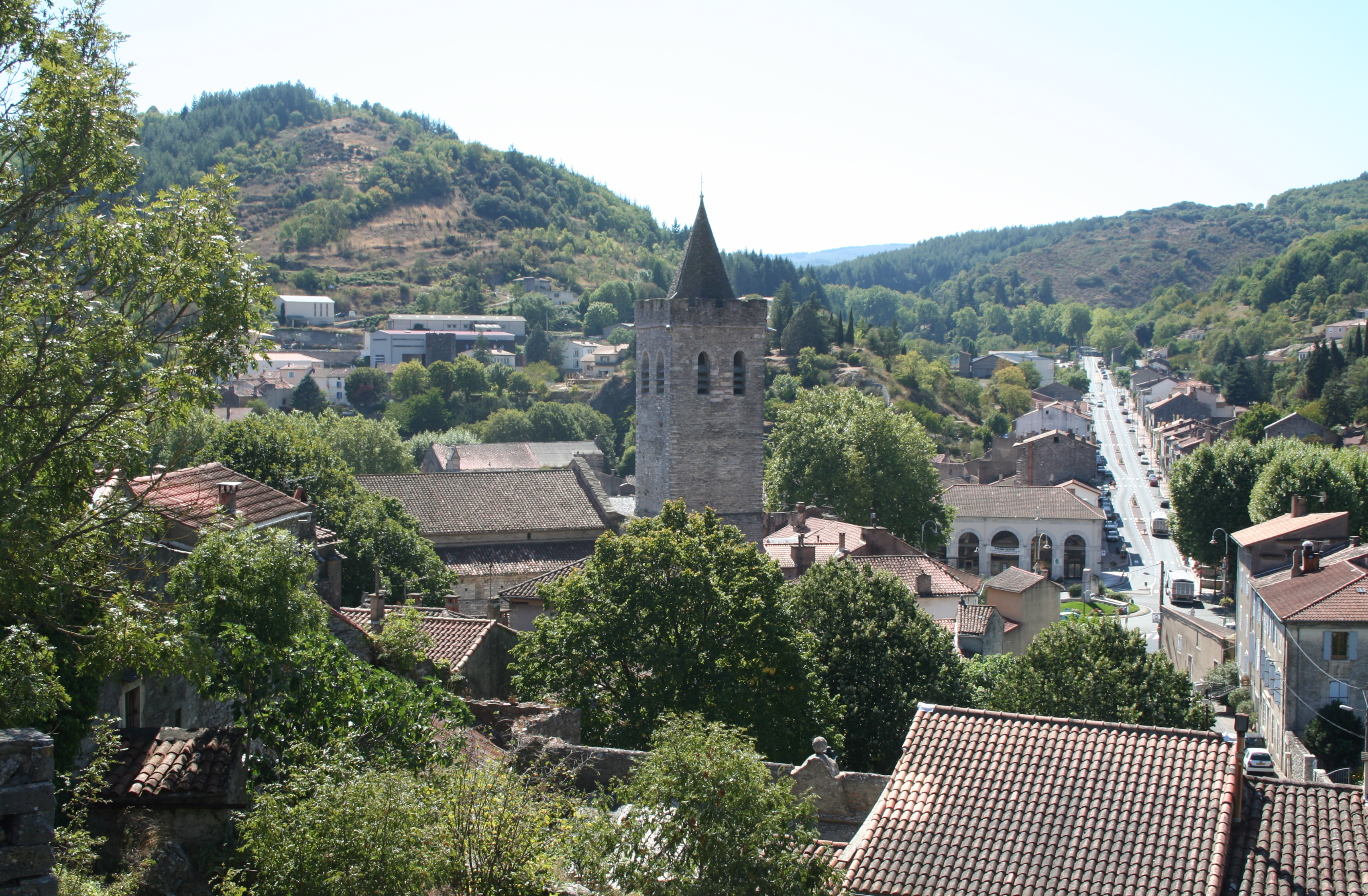
| 現時 | 2007年9月13號 (四) 12:56 | | 3,408 × 2,233(3.49 MB) | Fagairolles 34 | {{Information |Description=Saint-Pons-de-Thomières (Hérault) - Vue générale. |Source=travail personnel |Date=12/09/2007 |Author= Fagairolles 34 }} |
檔案用途
以下嘅1版用到呢個檔:
全域檔案使用情況
下面嘅維基都用緊呢個檔案:
- an.wikipedia.org嘅使用情況
- ca.wikipedia.org嘅使用情況
- ceb.wikipedia.org嘅使用情況
- ce.wikipedia.org嘅使用情況
- de.wikipedia.org嘅使用情況
- el.wikipedia.org嘅使用情況
- en.wikipedia.org嘅使用情況
- en.wikivoyage.org嘅使用情況
- eo.wikipedia.org嘅使用情況
- es.wikipedia.org嘅使用情況
- eu.wikipedia.org嘅使用情況
- fr.wikipedia.org嘅使用情況
- hu.wikipedia.org嘅使用情況
- it.wikipedia.org嘅使用情況
- ja.wikivoyage.org嘅使用情況
- ku.wikipedia.org嘅使用情況
- la.wikipedia.org嘅使用情況
- lld.wikipedia.org嘅使用情況
- lmo.wikipedia.org嘅使用情況
- ms.wikipedia.org嘅使用情況
- nl.wikipedia.org嘅使用情況
- oc.wikipedia.org嘅使用情況
- pl.wikipedia.org嘅使用情況
- pt.wikipedia.org嘅使用情況
- ro.wikipedia.org嘅使用情況
- sk.wikipedia.org嘅使用情況
- sl.wikipedia.org嘅使用情況
- sv.wikipedia.org嘅使用情況
- tt.wikipedia.org嘅使用情況
- uk.wikipedia.org嘅使用情況
- ur.wikipedia.org嘅使用情況
- vec.wikipedia.org嘅使用情況
- vi.wikipedia.org嘅使用情況
- www.wikidata.org嘅使用情況
- zh-min-nan.wikipedia.org嘅使用情況
- zh.wikipedia.org嘅使用情況