
File:Trinidad and Tobago location map.svg

呢個「SVG」檔案嘅呢個「PNG」預覽嘅大細:619 × 600 像素。 第啲解像度:248 × 240 像素|495 × 480 像素|792 × 768 像素|1,057 × 1,024 像素|2,113 × 2,048 像素|780 × 756 像素。
原本檔案 (SVG檔案,表面大細: 780 × 756 像素,檔案大細:39 KB)
摘要
| 描述 |
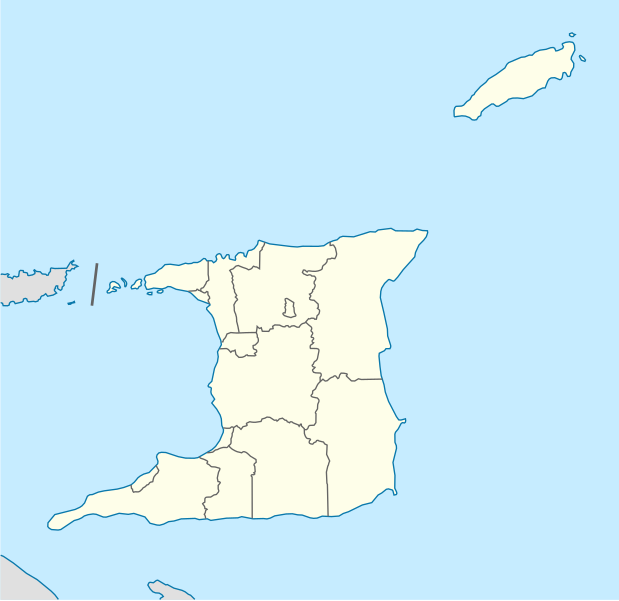
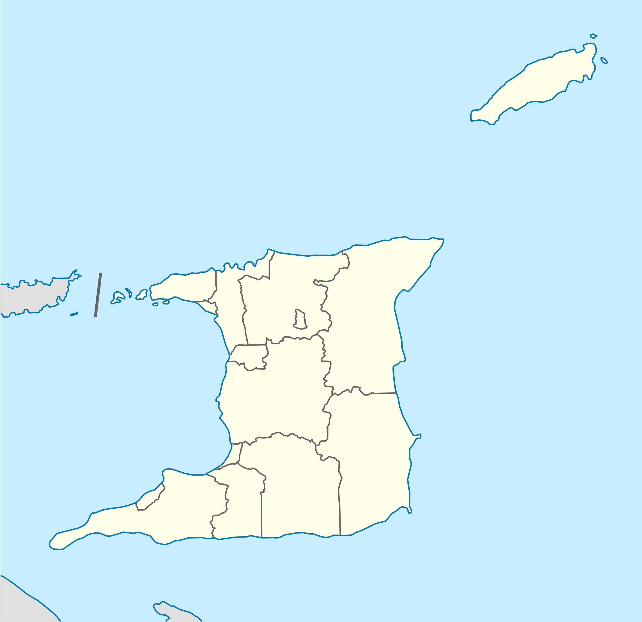
Deutsch: Positionskarte von Trinidad und Tobago
Quadratische Plattkarte. Geographische Begrenzung der Karte:
English: Location map of Trinidad and Tobago
Equirectangular projection. Geographic limits of the map:
|
| 日期 | |
| 來源 |
自己作品, using
|
| 作者 | NordNordWest |
| Other versions |
Derivative works of this file: Trinidad and Tobago location map Topographic.png |


|
This map has been made or improved in the German Kartenwerkstatt (Map Lab). You can propose maps to improve as well.
|
協議
我,呢份作品嘅作者,決定用以下許可發佈呢件作品:
呢個檔案用共享創意 姓名標示-非商業性-相同方式分享3.0 未本地化版本條款授權。
- 你可以:
- 去分享 – 複製、發佈同傳播呢個作品
- 再改 – 創作演繹作品
- 要遵照下面嘅條件:
- 署名 – 你一定要畀合適嘅表彰、畀返指向呢個授權條款嘅連結,同埋寫明有無改過嚟。你可以用任何合理方式去做,但唔可以用任何方式暗示授權人認可咗你或者你嘅使用方式。
- 相同方式分享 – 如果你用任何方式改過呢個作品,你必須要用返原本或者相似嘅條款發佈。
檔案歷史
撳個日期/時間去睇響嗰個時間出現過嘅檔案。
| 日期/時間 | 縮圖 | 尺寸 | 用戶 | 註解 | |
|---|---|---|---|---|---|
| 現時 | 2013年5月7號 (二) 12:39 | | 780 × 756(39 KB) | NordNordWest | Reverted to version as of 16:58, 17 June 2009; please see en: Chacachacare |
| 2013年5月7號 (二) 12:09 |  | 780 × 756(43 KB) | Dr Brains | Boundary with Venezuela | |
| 2009年6月17號 (三) 16:58 |  | 780 × 756(39 KB) | NordNordWest | {{Information |Description= {{de|Positionskarte von Trinidad und Tobago}} Quadratische Plattkarte. Geographische Begrenzung der Karte: * N: 11.45° N * S: 9.85° N * W: 62.05° W * O: 60.4° W {{en|Location map of [[:en:Trinida |
檔案用途
全域檔案使用情況
下面嘅維基都用緊呢個檔案:
- af.wikipedia.org嘅使用情況
- ar.wikipedia.org嘅使用情況
- be-tarask.wikipedia.org嘅使用情況
- be.wikipedia.org嘅使用情況
- bg.wikipedia.org嘅使用情況
- bn.wikipedia.org嘅使用情況
- bs.wikipedia.org嘅使用情況
- ca.wikipedia.org嘅使用情況
- ceb.wikipedia.org嘅使用情況
- Plantilya:Location map Trinidad and Tobago
- White Cliff
- Smith Island
- The Sisters
- Signal Hill
- Saint Paul
- Saint John
- Saint George
- Red Cliff
- Pelican Rocks
- Morris Bay
- Long Island
- Hermitage Bay
- Goat Island
- Five Islands
- North Point
- Sandy Point
- Long Rock
- Rocky Point
- Black Rock
- Wolf Rock
- White Rock
- East Rock
- Crown Point
- Centre Hill
- The Brothers
- South Rock
- Sandy Bay
- Eastern Channel
- Sisters Rocks
- Brothers Rocks
- Man of War Bay
睇呢個檔案嘅更多全域使用情況。