
File:Xiamen Aerial-1.jpg
原本檔案 (1,600 × 1,200 像素,檔案大細:973 KB ,MIME類型:image/jpeg)
摘要
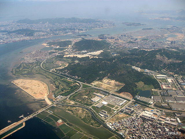
| 描述 | 厦门高崎机场上空, 飞机正在降落,下面应该是海沧区 |
| 日期 | |
| 來源 | 厦门高崎机场上空, 飞机正在降落,下面应该是海沧区 |
| 作者 | Tiger@西北 |
| Camera location | | View this and other nearby images on: OpenStreetMap |
|---|
協議
呢個檔案用共享創意 姓名標示-非商業性-相同方式分享3.0 未本地化版本條款授權。
- 你可以:
- 去分享 – 複製、發佈同傳播呢個作品
- 再改 – 創作演繹作品
- 要遵照下面嘅條件:
- 署名 – 你一定要畀合適嘅表彰、畀返指向呢個授權條款嘅連結,同埋寫明有無改過嚟。你可以用任何合理方式去做,但唔可以用任何方式暗示授權人認可咗你或者你嘅使用方式。
- 相同方式分享 – 如果你用任何方式改過呢個作品,你必須要用返原本或者相似嘅條款發佈。
| This image, which was originally posted to Panoramio, was reviewed on 14 September 2011 by the administrator or trusted user Warfieldian, who confirmed that it was available on Panoramio under the above license on that date. |
檔案歷史
撳個日期/時間去睇響嗰個時間出現過嘅檔案。
| 日期/時間 | 縮圖 | 尺寸 | 用戶 | 註解 | |
|---|---|---|---|---|---|
| 現時 | 2011年9月12號 (一) 15:15 |  | 1,600 × 1,200(973 KB) | Glabb | {{Information |Description=厦门高崎机场上空, 飞机正在降落,下面应该是海沧区 |Source=[http://www.panoramio.com/photo/25805258 厦门高崎机场上空, 飞机正在降落,下面应该是海沧区] |Date=2009-08-02 13:42 |Author=[ht |
檔案用途
以下嘅1版用到呢個檔:
全域檔案使用情況
下面嘅維基都用緊呢個檔案:
- en.wikipedia.org嘅使用情況
- en.wikivoyage.org嘅使用情況
- es.wikipedia.org嘅使用情況
- eu.wikipedia.org嘅使用情況
- fa.wikipedia.org嘅使用情況
- fr.wikipedia.org嘅使用情況
- ko.wikipedia.org嘅使用情況
- no.wikipedia.org嘅使用情況
- ru.wikipedia.org嘅使用情況
- www.wikidata.org嘅使用情況
- zh.wikipedia.org嘅使用情況