
File:Cypress structure.jpeg
原本檔案 (3,590 × 2,336 像素,檔案大細:9.9 MB ,MIME類型:image/jpeg)
摘要
| 描述 |
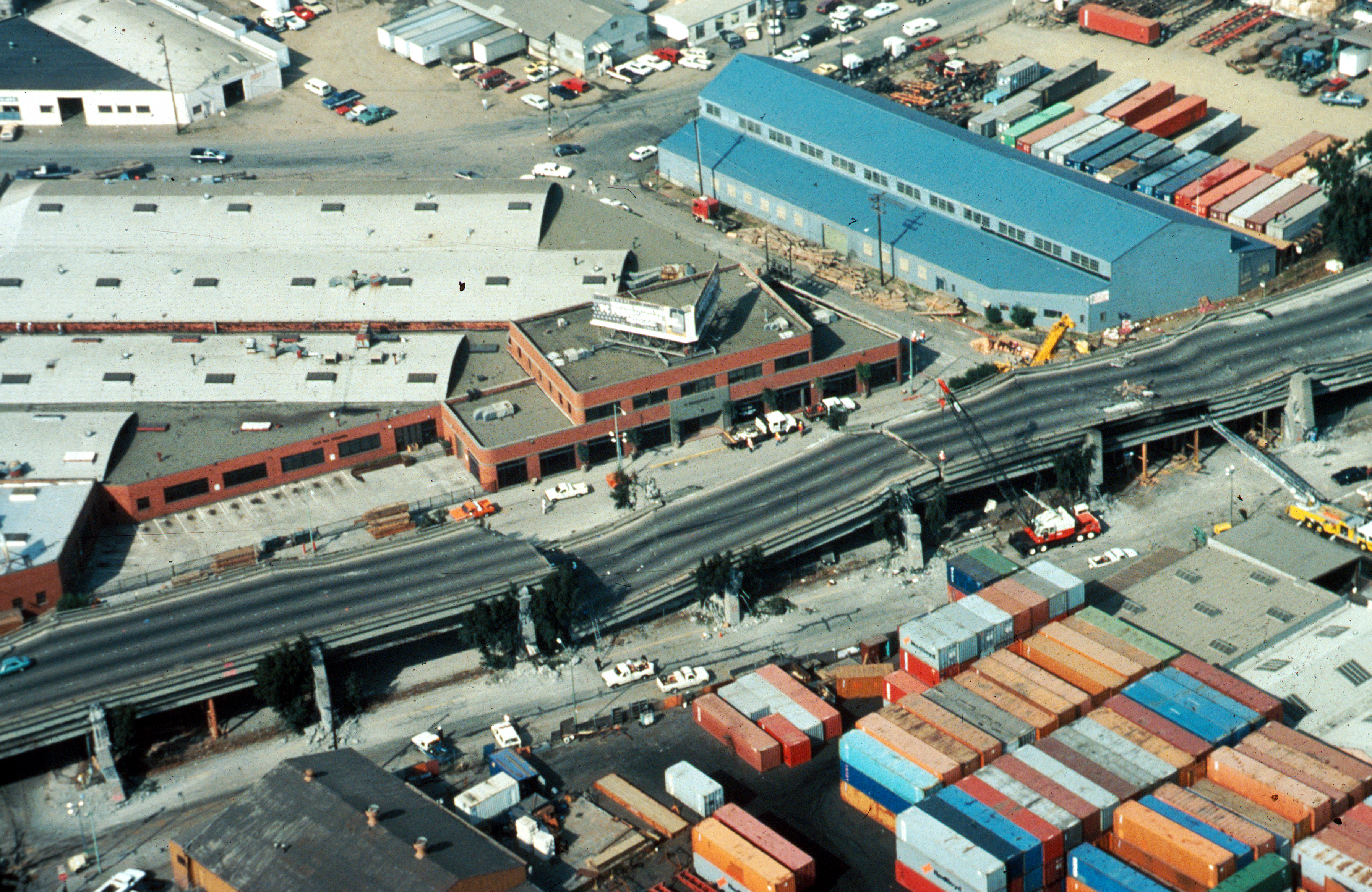
USGS photo from 1989 Loma Prieta earthquake. Caption: Aerial view of collapsed sections of the en:Cypress Viaduct of en:Interstate 880. [H.G. Wilshire, U.S. Geological Survey] |
| 日期 | |
| 來源 |
Photo by H. G. Wilshire for U.S. Geological Survey. High res version on line at : [1] Lower resolution version: Original image here: http://pubs.usgs.gov/dds/dds-29/web_pages/oakland.html |
| 作者 | H.G. Wilshire, U.S. Geological Survey |
| 許可 (重用呢個檔案) |
PD-USGOV-INTERIOR-USGS. |
| Other versions |
|

協議
This image is in the public domain in the United States because it only contains materials that originally came from the United States Geological Survey, an agency of the United States Department of the Interior. For more information, see the official USGS copyright policy.
|
檔案歷史
撳個日期/時間去睇響嗰個時間出現過嘅檔案。
| 日期/時間 | 縮圖 | 尺寸 | 用戶 | 註解 | |
|---|---|---|---|---|---|
| 現時 | 2009年10月16號 (五) 17:57 | | 3,590 × 2,336(9.9 MB) | Infrogmation | High res version |
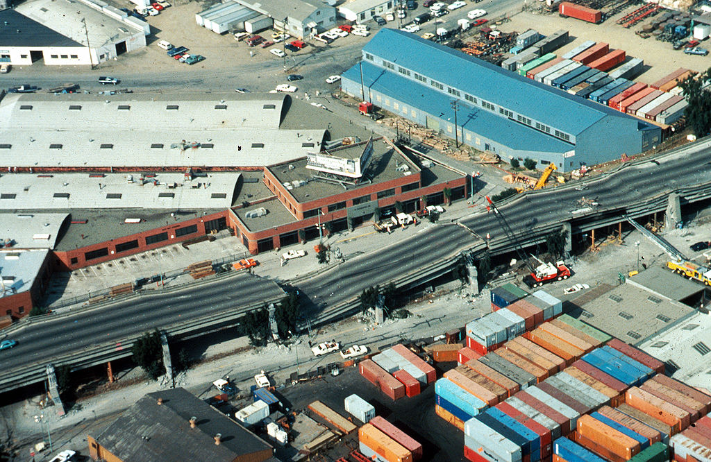
| 2006年11月30號 (四) 05:27 |  | 763 × 512(64 KB) | Zzyzx11 | {{Information |Description=[http://wrgis.wr.usgs.gov/dds/dds-29/ USGS photo] from 1989 en:Loma Prieta earthquake. '''Caption''': Aerial view of collapsed sections of the en:Cypress Viaduct of en:Interstate 880. [H.G. Wilshire, U.S. Geolo |
檔案用途
以下嘅1版用到呢個檔:
全域檔案使用情況
下面嘅維基都用緊呢個檔案:
- af.wikipedia.org嘅使用情況
- ar.wikipedia.org嘅使用情況
- azb.wikipedia.org嘅使用情況
- az.wikipedia.org嘅使用情況
- bg.wikipedia.org嘅使用情況
- da.wikipedia.org嘅使用情況
- de.wikipedia.org嘅使用情況
- de.wikivoyage.org嘅使用情況
- en.wikipedia.org嘅使用情況
- Oakland, California
- 1989 Loma Prieta earthquake
- Interstate 880 (California)
- Wikipedia:Selected anniversaries/October 17
- MacArthur Maze
- Cypress Street Viaduct
- Portal:San Francisco Bay Area/Selected article/Archive
- Seismic microzonation
- User:Jer10 95/earthquakeprone
- User:DiRkdARyL
- Wikipedia talk:WikiProject Userboxes/New Userboxes/Archive 13
- 1989 in the United States
- Portal:San Francisco Bay Area/Selected article/18
- es.wikipedia.org嘅使用情況
- fi.wikipedia.org嘅使用情況
- he.wikipedia.org嘅使用情況
- hi.wikipedia.org嘅使用情況
- id.wikipedia.org嘅使用情況
- it.wikipedia.org嘅使用情況
- ja.wikipedia.org嘅使用情況
- ko.wikipedia.org嘅使用情況
- ms.wikipedia.org嘅使用情況
- pam.wikipedia.org嘅使用情況
- pl.wikipedia.org嘅使用情況
- pt.wikipedia.org嘅使用情況
- ro.wikipedia.org嘅使用情況
- ru.wikipedia.org嘅使用情況
- simple.wikipedia.org嘅使用情況
- sr.wikipedia.org嘅使用情況
- sv.wikipedia.org嘅使用情況
- th.wikipedia.org嘅使用情況
- tr.wikipedia.org嘅使用情況
睇呢個檔案嘅更多全域使用情況。