
File:烏蘭浩特機場 - panoramio (2).jpg

原本檔案 (3,264 × 2,448 像素,檔案大細:1.95 MB ,MIME類型:image/jpeg)
.jpg?uselang=yue)
摘要
| 描述 |
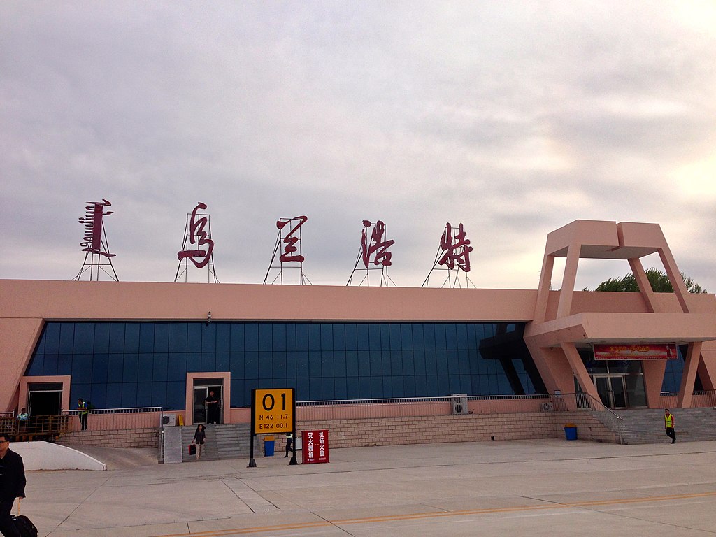
中文(中国大陆):乌兰浩特义勒力特机场
中文(繁體):烏蘭浩特機場
English: Ulanhot Yilelite Airport |
||
| 日期 | Taken on 2013年5月16號 | ||
| 來源 | https://web.archive.org/web/20161029104827/http://www.panoramio.com/photo/90722270 | ||
| 作者 | ping lin | ||
| 許可 (重用呢個檔案) |
呢個檔案用共享創意 姓名標示-非商業性-相同方式分享3.0 未本地化版本條款授權。 姓名標示: ping lin
|
||
| Tags (from Panoramio photo page) | Hinggan, 白城 |
| Camera location | | View this and other nearby images on: OpenStreetMap |
|---|
.jpg¶ms=046.194000_N_0122.002500_E_globe:Earth_type:camera_source:Panoramio_&language=yue)
檔案歷史
撳個日期/時間去睇響嗰個時間出現過嘅檔案。
| 日期/時間 | 縮圖 | 尺寸 | 用戶 | 註解 | |
|---|---|---|---|---|---|
| 現時 | 2017年2月20號 (一) 12:40 | | 3,264 × 2,448(1.95 MB) | Panoramio upload bot | == {{int:filedesc}} == {{Information |description=烏蘭浩特機場 |date={{Taken on|2013-05-16}} |source=http://www.panoramio.com/photo/90722270 |author=[http://www.panoramio.com/user/6159083?with_photo_id=90722270 ping lin] |permission={{cc-by-sa-3.... |
檔案用途
以下嘅1版用到呢個檔:
全域檔案使用情況
下面嘅維基都用緊呢個檔案:
- ar.wikipedia.org嘅使用情況
- ceb.wikipedia.org嘅使用情況
- en.wikipedia.org嘅使用情況
- en.wikivoyage.org嘅使用情況
- eu.wikipedia.org嘅使用情況
- fr.wikipedia.org嘅使用情況
- id.wikipedia.org嘅使用情況
- ja.wikipedia.org嘅使用情況
- ko.wikipedia.org嘅使用情況
- ku.wikipedia.org嘅使用情況
- mn.wikipedia.org嘅使用情況
- pl.wikipedia.org嘅使用情況
- ru.wikipedia.org嘅使用情況
- tr.wikipedia.org嘅使用情況
- uk.wikipedia.org嘅使用情況
- vi.wikipedia.org嘅使用情況
- www.wikidata.org嘅使用情況
- zh.wikipedia.org嘅使用情況
- zh.wikivoyage.org嘅使用情況
.jpg)