
File:Aerial Crater Lake.jpg
原本檔案 (3,072 × 2,304 像素,檔案大細:4.57 MB ,MIME類型:image/jpeg)
摘要
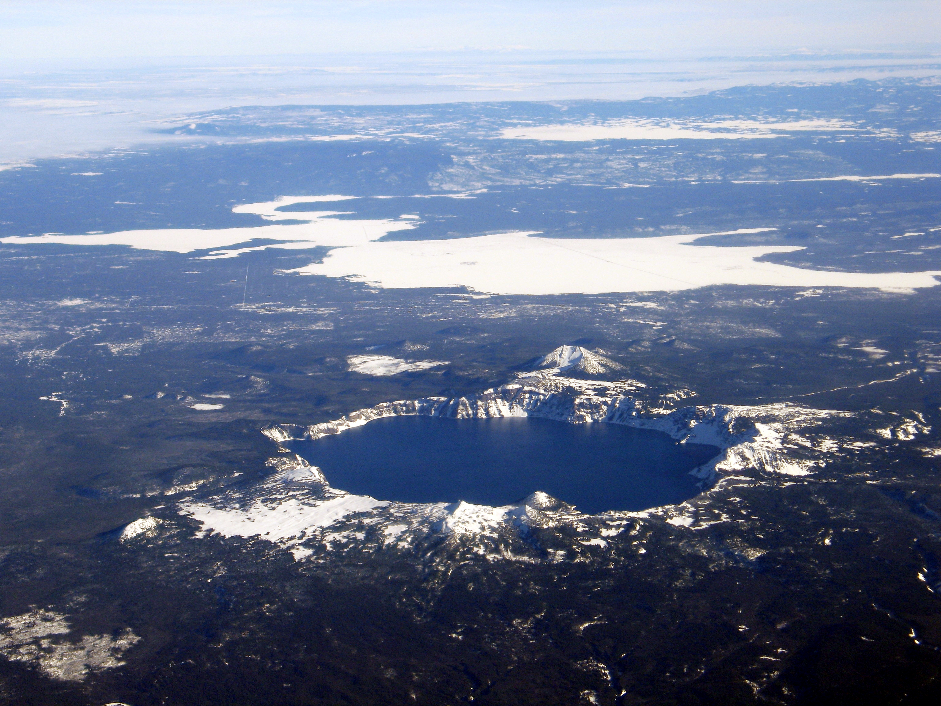
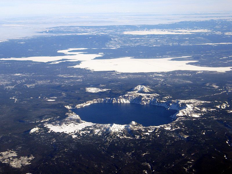
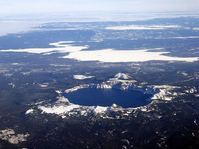
Aerial view, Crater Lake, Wizard Island, and Mount Scott, as seen from the west. USGS Photograph taken on December 10, 2005, by Mike Doukas.
協議
This image is in the public domain in the United States because it only contains materials that originally came from the United States Geological Survey, an agency of the United States Department of the Interior. For more information, see the official USGS copyright policy.
|
| Annotations | This image is annotated: View the annotations at Commons |
檔案歷史
撳個日期/時間去睇響嗰個時間出現過嘅檔案。
| 日期/時間 | 縮圖 | 尺寸 | 用戶 | 註解 | |
|---|---|---|---|---|---|
| 現時 | 2006年8月2號 (三) 06:48 | | 3,072 × 2,304(4.57 MB) | RGM~commonswiki | Aerial view, Crater Lake, Wizard Island, and Mount Scott, as seen from the west. USGS Photograph taken on December 10, 2005, by Mike Doukas. |
檔案用途
以下嘅1版用到呢個檔:
全域檔案使用情況
下面嘅維基都用緊呢個檔案:
- ast.wikipedia.org嘅使用情況
- cs.wikipedia.org嘅使用情況
- de.wikipedia.org嘅使用情況
- en.wikipedia.org嘅使用情況
- eo.wikipedia.org嘅使用情況
- es.wikipedia.org嘅使用情況
- eu.wikipedia.org嘅使用情況
- fr.wikipedia.org嘅使用情況
- hr.wikipedia.org嘅使用情況
- id.wikipedia.org嘅使用情況
- ja.wikipedia.org嘅使用情況
- nl.wikipedia.org嘅使用情況
- pt.wikipedia.org嘅使用情況
- sr.wikipedia.org嘅使用情況
- uk.wikipedia.org嘅使用情況