
File:Karte Deutschland.svg

呢個「SVG」檔案嘅呢個「PNG」預覽嘅大細:443 × 599 像素。 第啲解像度:177 × 240 像素|355 × 480 像素|567 × 768 像素|757 × 1,024 像素|1,513 × 2,048 像素|592 × 801 像素。
原本檔案 (SVG檔案,表面大細: 592 × 801 像素,檔案大細:208 KB)
| 描述 |
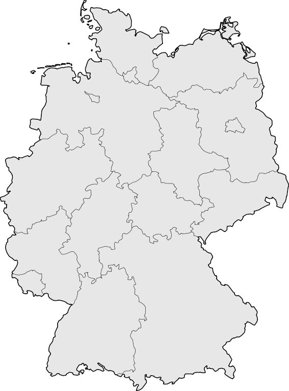
Deutsch: Karte der Bundesrepublik Deutschland mit den Grenzen der 16 Bundesländer.
English: Map of Germany with the borders of the 16 federal states.
|
| 日期 | |
| 來源 | Based on Image:Karte Deutsche Bundesländer (nummeriert).svg, color scheme of Image:Karte Deutschland.png applied. |
| 作者 | David Liuzzo |
| 許可 (重用呢個檔案) |
Ĉi tiu dosiero estas disponebla laŭ la permesilo Krea Komunaĵo Atribuite-Samkondiĉe 2.0 Germanujo.
 |
| Other versions |
Derivative works of this file:
|
| SVG genesis | This map was created with Adobe Illustrator, with Sodipodi |


.svg)
檔案歷史
撳個日期/時間去睇響嗰個時間出現過嘅檔案。
| 日期/時間 | 縮圖 | 尺寸 | 用戶 | 註解 | |
|---|---|---|---|---|---|
| 現時 | 2008年3月18號 (二) 08:51 | | 592 × 801(208 KB) | TMg | Border lines a little bit darker so they are equal when viewing both images in the same size, e.g. 140px. |
| 2007年8月20號 (一) 20:34 |  | 592 × 801(209 KB) | Kjunix | {{Information| |Description= {{de|Karte der Bundesrepublik Deutschland mit eingezeichneten Grenzen der Bundesländer.}} |Source=based on Karte Deutsche Bundesländer (nummeriert).svg, color schem |
.svg)
檔案用途
無嘢連來呢份檔案。