
File:Luofu in Taiwan Provincial Highway 7.JPG
原本檔案 (1,600 × 1,116 像素,檔案大細:388 KB ,MIME類型:image/jpeg)
摘要
| 描述 |
中文(臺灣):羅馬公路的終點-羅浮,位於台7線與118縣道終點交會處。臺灣桃園市復興區 English: Luofu, the intersection of Taiwan Provincial Highway 7 and the end of County Highway 118, in Fuxing District, Taoyuan City, Taiwan |
| 日期 | |
| 來源 | 自己作品 |
| 作者 | 克勞棣 |
| Camera location | | View this and other nearby images on: OpenStreetMap |
|---|
協議
我,呢份作品嘅作者,決定用以下許可發佈呢件作品:
This file is licensed under the Creative Commons Attribution-Share Alike 4.0 International license.
- 你可以:
- 去分享 – 複製、發佈同傳播呢個作品
- 再改 – 創作演繹作品
- 要遵照下面嘅條件:
- 署名 – 你一定要畀合適嘅表彰、畀返指向呢個授權條款嘅連結,同埋寫明有無改過嚟。你可以用任何合理方式去做,但唔可以用任何方式暗示授權人認可咗你或者你嘅使用方式。
- 相同方式分享 – 如果你用任何方式改過呢個作品,你必須要用返原本或者相似嘅條款發佈。
檔案歷史
撳個日期/時間去睇響嗰個時間出現過嘅檔案。
| 日期/時間 | 縮圖 | 尺寸 | 用戶 | 註解 | |
|---|---|---|---|---|---|
| 現時 | 2015年3月21號 (六) 20:43 | 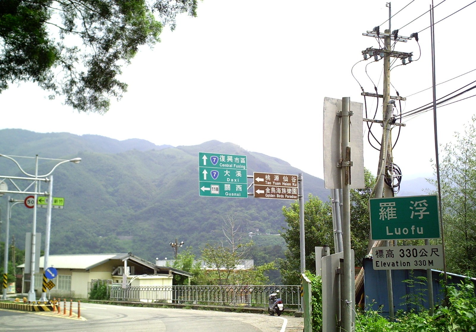 | 1,600 × 1,116(388 KB) | 克勞棣 | User created page with UploadWizard |
檔案用途
以下嘅1版用到呢個檔:
全域檔案使用情況
下面嘅維基都用緊呢個檔案:
- en.wikipedia.org嘅使用情況
- zh.wikipedia.org嘅使用情況