
File:MRT map TE.svg

呢個「SVG」檔案嘅呢個「PNG」預覽嘅大細:800 × 457 像素。 第啲解像度:320 × 183 像素|640 × 366 像素|1,024 × 585 像素|1,280 × 732 像素|2,560 × 1,463 像素|1,709 × 977 像素。
原本檔案 (SVG檔案,表面大細: 1,709 × 977 像素,檔案大細:275 KB)
摘要
| 描述 |
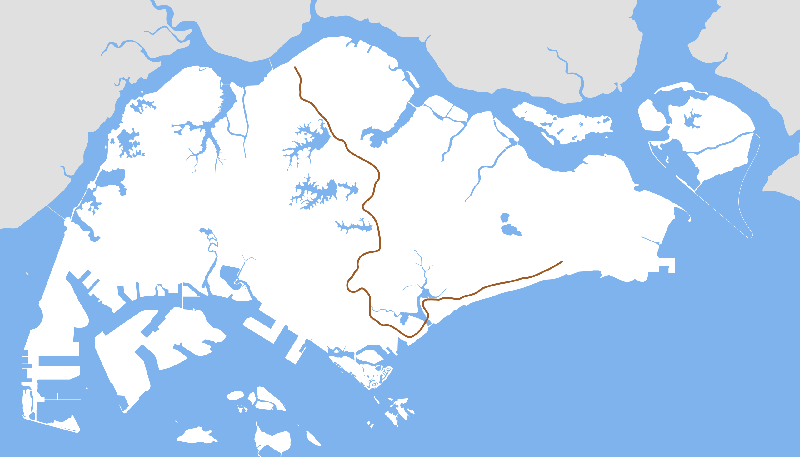
English: Thomson-East Coast Line map. |
| 來源 | 自己作品 |
| 作者 | Seloloving |
協議
我,呢份作品嘅作者,決定用以下許可發佈呢件作品:
| This file is made available under the Creative Commons CC0 1.0 Universal Public Domain Dedication. | |
| The person who associated a work with this deed has dedicated the work to the public domain by waiving all of their rights to the work worldwide under copyright law, including all related and neighboring rights, to the extent allowed by law. You can copy, modify, distribute and perform the work, even for commercial purposes, all without asking permission.
|
檔案歷史
撳個日期/時間去睇響嗰個時間出現過嘅檔案。
| 日期/時間 | 縮圖 | 尺寸 | 用戶 | 註解 | |
|---|---|---|---|---|---|
| 現時 | 2020年1月30號 (四) 20:17 | | 1,709 × 977(275 KB) | Seloloving | correct shade of brown. |
| 2020年1月6號 (一) 14:52 |  | 1,709 × 977(275 KB) | Seloloving | Removed other lines. | |
| 2014年8月19號 (二) 02:45 |  | 1,709 × 977(254 KB) | Seloloving | Removed future lines. | |
| 2014年8月19號 (二) 02:43 |  | 1,709 × 977(259 KB) | Seloloving | Fixed TEL alignment. | |
| 2014年8月16號 (六) 08:01 |  | 1,709 × 977(259 KB) | Seloloving | Added East Coast stretch. Fixed Thomson stretch. | |
| 2014年1月20號 (一) 08:32 |  | 1,709 × 977(157 KB) | Seloloving | Fixed TWE alignment. | |
| 2014年1月20號 (一) 02:03 |  | 1,709 × 977(157 KB) | Seloloving | Updated shape of Singapore Island. Fixed alignment issues. | |
| 2012年9月1號 (六) 05:34 |  | 1,709 × 915(116 KB) | Seloloving | Added TSL | |
| 2012年8月30號 (四) 04:51 |  | 1,709 × 915(114 KB) | Seloloving | Fixed alignments. | |
| 2012年8月30號 (四) 04:30 |  | 1,709 × 915(113 KB) | Seloloving | Fixed errors. |
檔案用途
以下嘅2版用到呢個檔:
全域檔案使用情況
下面嘅維基都用緊呢個檔案:
- de.wikipedia.org嘅使用情況
- id.wikipedia.org嘅使用情況
- ms.wikipedia.org嘅使用情況
- nl.wikipedia.org嘅使用情況
- www.wikidata.org嘅使用情況
- zh.wikipedia.org嘅使用情況