
File:Malacca location map.svg

呢個「SVG」檔案嘅呢個「PNG」預覽嘅大細:800 × 506 像素。 第啲解像度:320 × 202 像素|640 × 405 像素|1,024 × 648 像素|1,280 × 810 像素|2,560 × 1,620 像素|980 × 620 像素。
原本檔案 (SVG檔案,表面大細: 980 × 620 像素,檔案大細:596 KB)
摘要
| 描述 |
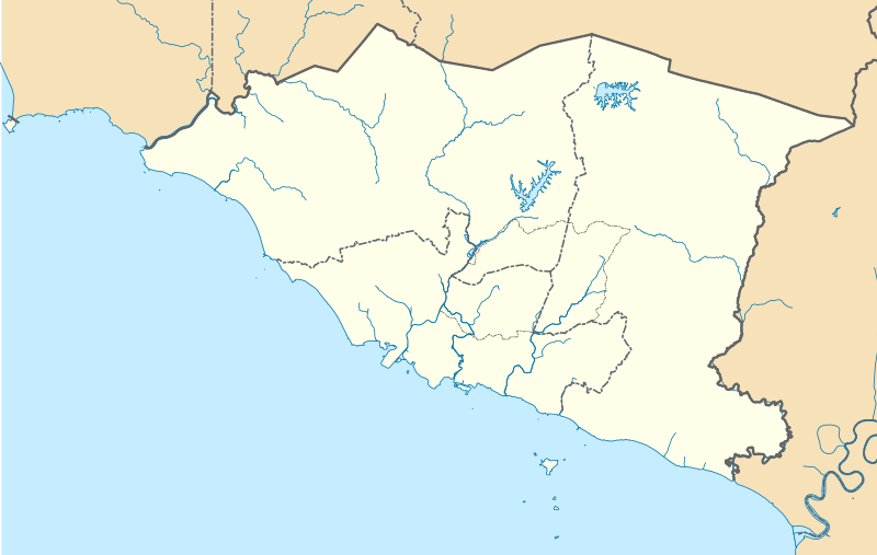
English: A map showing districts of Melaka (blank version) |
| 日期 | |
| 來源 | 自己作品 |
| 作者 | Zh9567 |
協議
我,呢份作品嘅作者,決定用以下許可發佈呢件作品:
This file is licensed under the Creative Commons Attribution-Share Alike 4.0 International license.
- 你可以:
- 去分享 – 複製、發佈同傳播呢個作品
- 再改 – 創作演繹作品
- 要遵照下面嘅條件:
- 署名 – 你一定要畀合適嘅表彰、畀返指向呢個授權條款嘅連結,同埋寫明有無改過嚟。你可以用任何合理方式去做,但唔可以用任何方式暗示授權人認可咗你或者你嘅使用方式。
- 相同方式分享 – 如果你用任何方式改過呢個作品,你必須要用返原本或者相似嘅條款發佈。
檔案歷史
撳個日期/時間去睇響嗰個時間出現過嘅檔案。
| 日期/時間 | 縮圖 | 尺寸 | 用戶 | 註解 | |
|---|---|---|---|---|---|
| 現時 | 2021年4月13號 (二) 08:42 | | 980 × 620(596 KB) | Zh9567 | minor |
| 2021年4月12號 (一) 06:59 |  | 980 × 620(597 KB) | Zh9567 | Uploaded own work with UploadWizard |
檔案用途
無嘢連來呢份檔案。
全域檔案使用情況
下面嘅維基都用緊呢個檔案:
- en.wikipedia.org嘅使用情況
- Malacca City
- Masjid Tanah
- Tanjung Tuan
- Ayer Keroh
- Merlimau
- Besar Island, Malacca
- Malacca Island
- Durian Tunggal
- Batu Berendam
- Tanjung Kling
- Bukit Katil
- Sungai Rambai
- Tanjung Bidara
- Wikipedia:WikiProject Malaysia/Cartography
- Portuguese Settlement, Malacca
- Simpang Ampat (Malacca)
- Hang Tuah Jaya
- Jasin (town)
- Linggi River
- Malacca
- Pengkalan Balak Beach
- Durian Tunggal Reservoir
- Sungai Udang Recreational Forest
- Alor Gajah Square
- Jus Reservoir
- Ayer Keroh Lake
- Ayer Keroh Square
- 1Malaysia Square
- Jasin Square
- Puteri Beach
- Bukit Batu Lebah Recreational Forest
- Klebang Beach
- Kuala Linggi Mangrove Recreational Forest
- Alor Gajah
- Konet Island
- Module:Location map/data/Malaysia Malacca
- Module:Location map/data/Malaysia Malacca/doc
- Undan Island
- Bukit Baru
- Upeh Island
- fr.wikipedia.org嘅使用情況
- id.wikipedia.org嘅使用情況
- ms.wikipedia.org嘅使用情況
- os.wikipedia.org嘅使用情況
睇呢個檔案嘅更多全域使用情況。