
File:Map Yeosu-si.png
原本檔案 (1,736 × 1,270 像素,檔案大細:97 KB ,MIME類型:image/png)

|
根據自由軟體基金會發佈嘅無固定段落、封面文字同封底文字GNU自由文件授權條款第1.2或打後嘅版本,你獲授權可以重製、散佈同埋修改爾份文件。授權條款嘅副本喺章節GNU自由文件授權條款。 |
| 呢個檔案用共享創意 姓名標示-非商業性-相同方式分享3.0 未本地化版本條款授權。 | ||
| ||
| This licensing tag was added to this file as part of the GFDL licensing update. |
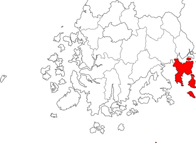
Made from Maps of Korea.
檔案歷史
撳個日期/時間去睇響嗰個時間出現過嘅檔案。
| 日期/時間 | 縮圖 | 尺寸 | 用戶 | 註解 | |
|---|---|---|---|---|---|
| 現時 | 2014年7月19號 (六) 06:37 |  | 1,736 × 1,270(97 KB) | CarrienStar | Changed into more detail and compact image |
| 2012年7月4號 (三) 05:42 |  | 300 × 232(7 KB) | Asfreeas | Color Adjustment | |
| 2011年7月19號 (二) 03:50 |  | 300 × 232(8 KB) | Hyolee2 | Reverted to version as of 13:49, 6 January 2005 | |
| 2011年6月25號 (六) 00:28 |  | 300 × 232(6 KB) | Asfreeas | color and form match | |
| 2005年1月6號 (四) 13:49 |  | 300 × 232(8 KB) | Visviva | included islands. | |
| 2004年12月23號 (四) 17:39 |  | 300 × 232(6 KB) | Visviva | {{GFDL}}Made from Maps of Korea. |
檔案用途
以下嘅1版用到呢個檔:
全域檔案使用情況
下面嘅維基都用緊呢個檔案:
- ceb.wikipedia.org嘅使用情況
- en.wikipedia.org嘅使用情況
- fa.wikipedia.org嘅使用情況
- fi.wikipedia.org嘅使用情況
- fr.wikipedia.org嘅使用情況
- it.wikipedia.org嘅使用情況
- ja.wikipedia.org嘅使用情況
- ko.wikipedia.org嘅使用情況
- nl.wikipedia.org嘅使用情況
- pl.wikipedia.org嘅使用情況
- pt.wikipedia.org嘅使用情況
- sv.wikipedia.org嘅使用情況
- vi.wikipedia.org嘅使用情況
- zh-classical.wikipedia.org嘅使用情況
- zh.wikipedia.org嘅使用情況