
File:Map of Italy blank.svg

呢個「SVG」檔案嘅呢個「PNG」預覽嘅大細:480 × 600 像素。 第啲解像度:192 × 240 像素|384 × 480 像素|614 × 768 像素|819 × 1,024 像素|1,638 × 2,048 像素|1,200 × 1,500 像素。
原本檔案 (SVG檔案,表面大細: 1,200 × 1,500 像素,檔案大細:822 KB)
摘要
| 描述 |
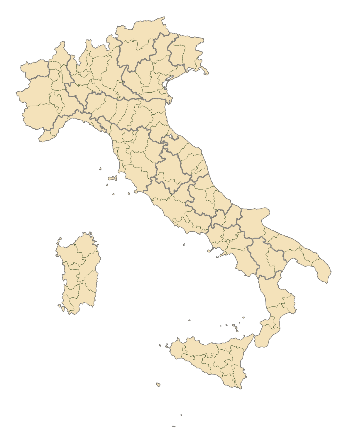
English: Blank map of Italy, divided in provinces. It can be easily divided even in regions. Situation before 2009. |
||
| 日期 | |||
| 來源 | 自己作品 | ||
| 作者 | F l a n k e r | ||
| 許可 (重用呢個檔案) |
|
||
| Other versions |
Derivative works of this file: |
.svg)
.svg)
.svg)
.svg)
.svg)
.svg)
檔案歷史
撳個日期/時間去睇響嗰個時間出現過嘅檔案。
| 日期/時間 | 縮圖 | 尺寸 | 用戶 | 註解 | |
|---|---|---|---|---|---|
| 現時 | 2015年8月2號 (日) 19:42 | | 1,200 × 1,500(822 KB) | Carnby | IT-TS+IT-88 |
| 2015年7月31號 (五) 22:54 |  | 1,200 × 1,500(823 KB) | Carnby | Rimini | |
| 2009年12月3號 (四) 19:56 |  | 1,200 × 1,500(821 KB) | F l a n k e r | Added provinces of Molise | |
| 2009年12月3號 (四) 00:15 |  | 1,200 × 1,500(820 KB) | Vonvikken | Fixed wrong borders between Abruzzo and Molise | |
| 2007年3月28號 (三) 11:58 |  | 1,200 × 1,500(828 KB) | F l a n k e r | ||
| 2007年1月12號 (五) 17:56 |  | 1,200 × 1,500(552 KB) | F l a n k e r | ||
| 2006年11月19號 (日) 12:10 |  | 1,200 × 1,500(559 KB) | F l a n k e r | {{Information |Description=Blank map of Italy, divided in provinces. It can be easily divided even in regions. |Source= |Date=19 Nov. 2006 |Author=F l a n k e r |Permission= |other_versions= }} |
檔案用途
無嘢連來呢份檔案。
全域檔案使用情況
下面嘅維基都用緊呢個檔案:
- ast.wikipedia.org嘅使用情況
- ca.wikipedia.org嘅使用情況
- gl.wikipedia.org嘅使用情況
- hy.wikipedia.org嘅使用情況
- ia.wikipedia.org嘅使用情況
- it.wikinews.org嘅使用情況
- ru.wikipedia.org嘅使用情況
- tg.wikipedia.org嘅使用情況
- uk.wikipedia.org嘅使用情況
- www.wikidata.org嘅使用情況