
File:Map of Peninsular Malaysia with third-level administrative divisions.svg

呢個「SVG」檔案嘅呢個「PNG」預覽嘅大細:544 × 600 像素。 第啲解像度:218 × 240 像素|435 × 480 像素|696 × 768 像素|928 × 1,024 像素|1,857 × 2,048 像素|739 × 815 像素。
原本檔案 (SVG檔案,表面大細: 739 × 815 像素,檔案大細:9.24 MB)
摘要
| 描述 |
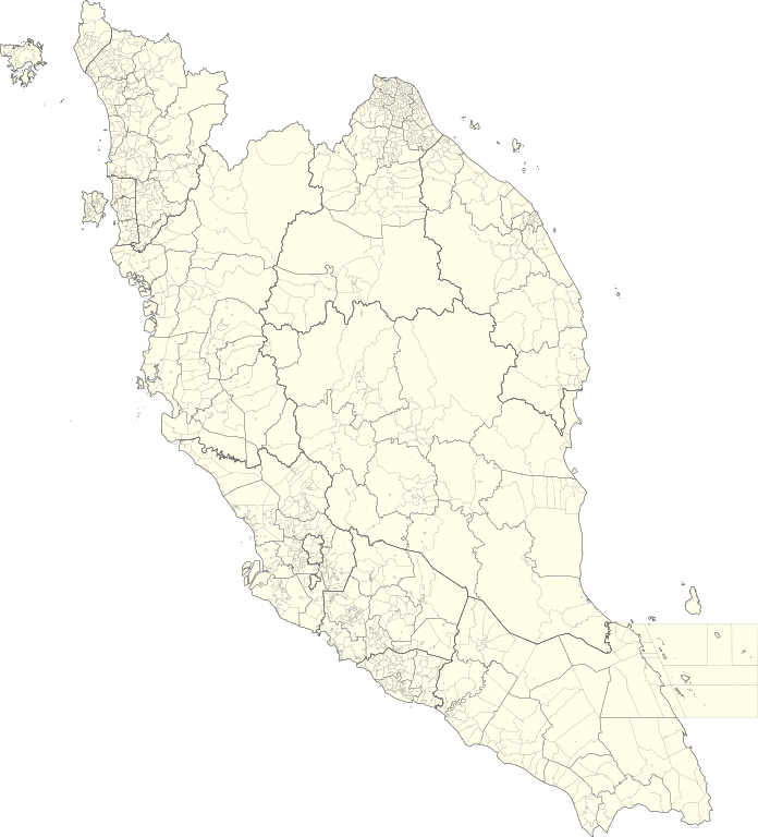
English: Map of Peninsular Malaysia with third-level administrative divisions (Mukim/Bandar/Pekan) |
| 日期 | |
| 來源 | [1] via Unique Parcel Identifier (UPI) |
| 作者 | Unique Parcel Identifier (UPI) |
協議
This file is licensed under the Creative Commons Attribution-Share Alike 4.0 International license.
- 你可以:
- 去分享 – 複製、發佈同傳播呢個作品
- 再改 – 創作演繹作品
- 要遵照下面嘅條件:
- 署名 – 你一定要畀合適嘅表彰、畀返指向呢個授權條款嘅連結,同埋寫明有無改過嚟。你可以用任何合理方式去做,但唔可以用任何方式暗示授權人認可咗你或者你嘅使用方式。
- 相同方式分享 – 如果你用任何方式改過呢個作品,你必須要用返原本或者相似嘅條款發佈。
檔案歷史
撳個日期/時間去睇響嗰個時間出現過嘅檔案。
| 日期/時間 | 縮圖 | 尺寸 | 用戶 | 註解 | |
|---|---|---|---|---|---|
| 現時 | 2021年7月10號 (六) 05:26 | | 739 × 815(9.24 MB) | Zh9567 | Uploaded a work by [https://mygos.mygeoportal.gov.my/upi/ Unique Parcel Identifier (UPI)] from [https://github.com/justinelliotmeyers/Malaysia_Official_Boundaries_2021] via [https://mygos.mygeoportal.gov.my/upi/ Unique Parcel Identifier (UPI)] with UploadWizard |
檔案用途
無嘢連來呢份檔案。
全域檔案使用情況
下面嘅維基都用緊呢個檔案:
- en.wikipedia.org嘅使用情況
- id.wikipedia.org嘅使用情況
- ms.wikipedia.org嘅使用情況
- zh.wikipedia.org嘅使用情況