
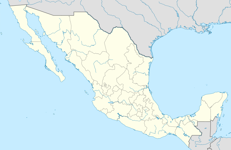
File:Mexico location map.svg

呢個「SVG」檔案嘅呢個「PNG」預覽嘅大細:800 × 522 像素。 第啲解像度:320 × 209 像素|640 × 418 像素|1,024 × 668 像素|1,280 × 835 像素|2,560 × 1,670 像素|2,028 × 1,323 像素。
原本檔案 (SVG檔案,表面大細: 2,028 × 1,323 像素,檔案大細:600 KB)
摘要
| 描述 |
Deutsch: Positionskarte von Mexiko
Quadratische Plattkarte, N-S-Streckung 110 %. Geographische Begrenzung der Karte:
Español: Mapa de la ubicación de México
Proyección equirectangular, N / S se extiende al 110 %. Límites geográficos del mapa:
English: Location map of Mexico
Equirectangular projection, N/S stretching 110 %. Geographic limits of the map:
Հայերեն: Մեքսիկայի տեղորոշման քարտեզ
Ուղղանկյուն պրոյեկցիա, Հյուսիս-Հարավ ձգվածությունը՝ 110%։ Քարտեզում աշխարհագրական սահմանները.
|
| 日期 | 11-03-2009 |
| 來源 |
own work, using
|
| 作者 | NordNordWest |
| Other versions |
Derivative works of this file: Islands of Mexico.svg
|


|
This map has been made or improved in the German Kartenwerkstatt (Map Lab). You can propose maps to improve as well.
|
協議
I, the copyright holder of this work, hereby publish it under the following licenses:

|
根據自由軟體基金會發佈嘅無固定段落、封面文字同封底文字GNU自由文件授權條款第1.2或打後嘅版本,你獲授權可以重製、散佈同埋修改爾份文件。授權條款嘅副本喺章節GNU自由文件授權條款。 |
Ĉi tiu dosiero estas disponebla laŭ la permesilo Krea Komunaĵo Atribuite 3.0 Neadaptita.
- 你可以:
- 去分享 – 複製、發佈同傳播呢個作品
- 再改 – 創作演繹作品
- 要遵照下面嘅條件:
- 署名 – 你一定要畀合適嘅表彰、畀返指向呢個授權條款嘅連結,同埋寫明有無改過嚟。你可以用任何合理方式去做,但唔可以用任何方式暗示授權人認可咗你或者你嘅使用方式。
你可以揀你想用嘅牌照。
檔案歷史
撳個日期/時間去睇響嗰個時間出現過嘅檔案。
| 日期/時間 | 縮圖 | 尺寸 | 用戶 | 註解 | |
|---|---|---|---|---|---|
| 現時 | 2012年7月24號 (二) 14:04 | | 2,028 × 1,323(600 KB) | NordNordWest | upd |
| 2009年3月11號 (三) 18:34 |  | 2,029 × 1,326(861 KB) | NordNordWest | {{Information |Description= {{de|Positionskarte von Mexiko}} Quadratische Plattkarte, N-S-Streckung 110 %. Geographische Begrenzung der Karte: * N: 33.3° N * S: 14.2° N * W: 118.5° W * O: 86.3° W {{en|Location map of [[:en:Mexico|Mexico |
檔案用途
以下嘅1版用到呢個檔:
全域檔案使用情況
下面嘅維基都用緊呢個檔案:
- af.wikipedia.org嘅使用情況
- als.wikipedia.org嘅使用情況
- an.wikipedia.org嘅使用情況
- Ciudat de Mexico
- Tequixquiac
- Pachuca de Soto
- Apaxco
- Apaxco de Ocampo
- Acapulco de Juárez
- Jaltenco
- Zumpango (municipio)
- Nextlalpan
- Hueypoxtla (municipio)
- Naucalpan de Juárez
- Amecameca
- Tijuana (municipio)
- Acambay
- Toluca (municipio)
- Acolman
- Tonanitla
- Atizapán de Zaragoza
- Ecatepec de Morelos
- Tecate (municipio)
- Mexicali (municipio)
- Playas de Rosarito
- Municipio de Ensenada (Baixa California)
- Atlacomulco
- Aculco
睇呢個檔案嘅更多全域使用情況。