
File:Pakistan location map.svg

呢個「SVG」檔案嘅呢個「PNG」預覽嘅大細:750 × 599 像素。 第啲解像度:300 × 240 像素|601 × 480 像素|961 × 768 像素|1,280 × 1,023 像素|2,560 × 2,046 像素|2,365 × 1,890 像素。
原本檔案 (SVG檔案,表面大細: 2,365 × 1,890 像素,檔案大細:461 KB)
摘要
| 描述 |
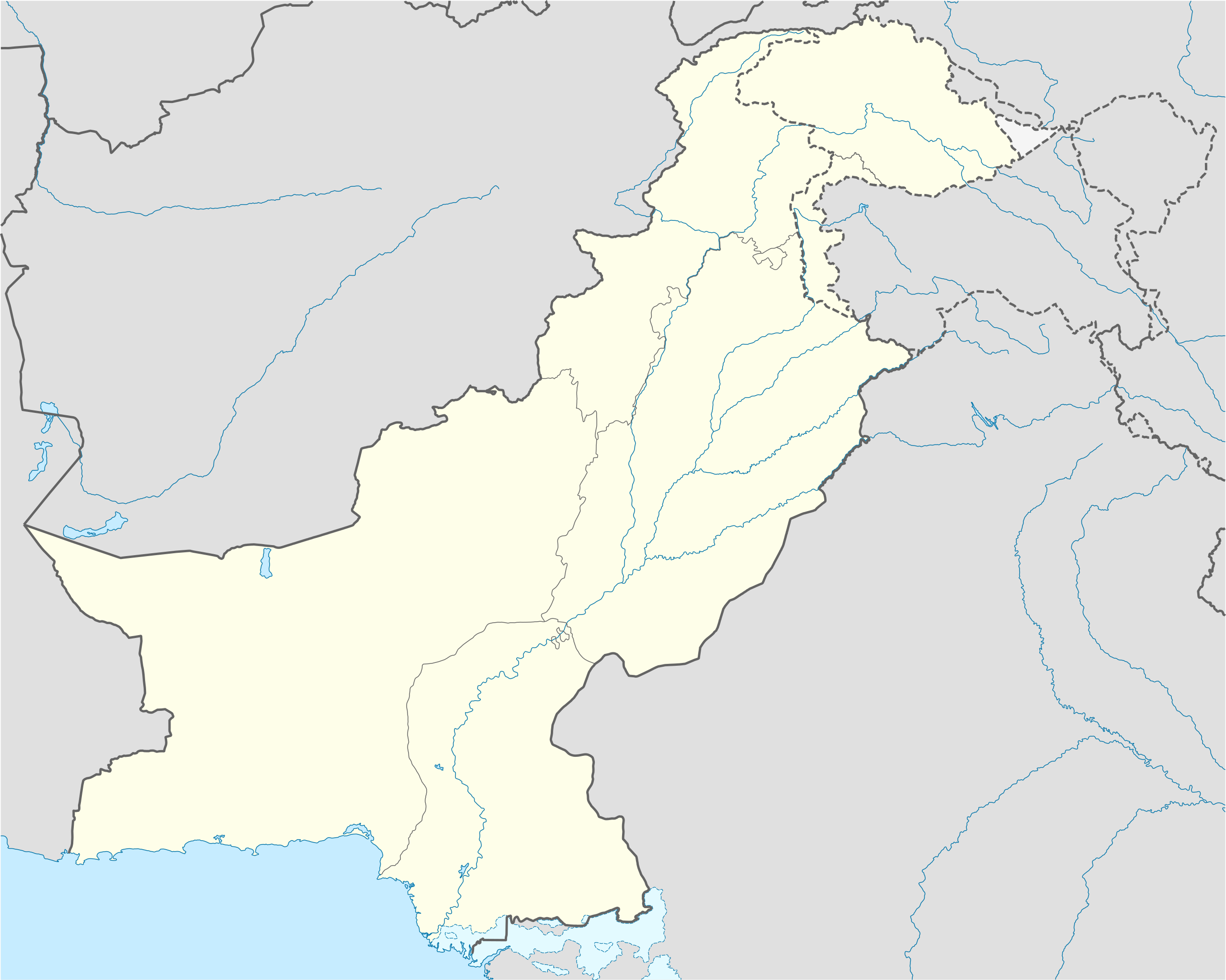
Deutsch: Positionskarte von Pakistan
Quadratische Plattkarte, N-S-Streckung 115 %. Geographische Begrenzung der Karte:
English: Location map of Pakistan
Equirectangular projection, N/S stretching 115 %. Geographic limits of the map:
|
||
| 日期 | |||
| 來源 |
own work, using
|
||
| 作者 | NordNordWest | ||
| 許可 (重用呢個檔案) |
I, the copyright holder of this work, hereby publish it under the following licenses:
呢個檔案用共享創意 姓名標示-非商業性-相同方式分享3.0 未本地化版本條款授權。
你可以揀你想用嘅牌照。 |
||
| Other versions |
|


|
This map has been made or improved in the German Kartenwerkstatt (Map Lab). You can propose maps to improve as well.
|
檔案歷史
撳個日期/時間去睇響嗰個時間出現過嘅檔案。
| 日期/時間 | 縮圖 | 尺寸 | 用戶 | 註解 | |
|---|---|---|---|---|---|
| 現時 | 2020年11月5號 (四) 16:00 | | 2,365 × 1,890(461 KB) | NordNordWest | small correction |
| 2020年6月1號 (一) 08:42 |  | 2,365 × 1,890(459 KB) | NordNordWest | c | |
| 2018年6月9號 (六) 12:06 |  | 2,365 × 1,890(771 KB) | Mar4d | The map is correct as it shows the de facto position | |
| 2017年4月24號 (一) 04:34 |  | 2,365 × 1,890(462 KB) | फ़िलप्रो | Siachen Glacier under Indian control | |
| 2008年10月31號 (五) 13:36 |  | 2,365 × 1,890(771 KB) | NordNordWest | Kashmir completely | |
| 2008年10月28號 (二) 18:34 |  | 2,105 × 1,890(653 KB) | NordNordWest | ||
| 2008年9月27號 (六) 21:20 |  | 2,105 × 1,890(650 KB) | NordNordWest | {{Information |Description= {{de|Positionskarte von Pakistan}} Quadratische Plattkarte, N-S-Streckung 115 %. Geographische Begrenzung der Karte: * N: 37.3° N * S: 23.4° N * W: 60.5° O * O: 78.3° O {{en|Location map of [[:en:Pakistan|P |
檔案用途
以下嘅3版用到呢個檔:
全域檔案使用情況
下面嘅維基都用緊呢個檔案:
- af.wikipedia.org嘅使用情況
- als.wikipedia.org嘅使用情況
- ar.wikipedia.org嘅使用情況
- قالب:خريطة مواقع باكستان
- موجة الحر الباكستانية 2015
- قالب:خريطة مواقع التراث العالمي في باكستان
- بوابة:التراث العالمي/خريطة مختارة
- وحدة:Location map/data/Pakistan
- وحدة:Location map/data/Pakistan/شرح
- تفجير باراتشينار 2017
- تفجيرات باكستان (يونيو 2017)
- قائمة العواصم في باكستان
- تفجير بيشاور 2018
- مذبحة غلغت 1988
- ast.wikipedia.org嘅使用情況
- Islamabad
- Karachi
- Lahore
- K2
- Nanga Parbat
- Gasherbrum I
- Broad Peak
- Gasherbrum II
- Pasu de Khunjerab
- Chitral
- Badshahi Masjid
- Faisalabad
- Gujranwala
- Sialkot
- Módulu:Mapa de llocalización/datos/Paquistán
- Módulu:Mapa de llocalización/datos/Paquistán/usu
- Universidá Aga Khan
- Autoridá d'aviación civil de Paquistán
- Puertu Qasim
- Puertu de Gwadar
- Puertu de Karachi
- Sha Bandar
- azb.wikipedia.org嘅使用情況
睇呢個檔案嘅更多全域使用情況。