
File:Pakistan tehsils.svg

呢個「SVG」檔案嘅呢個「PNG」預覽嘅大細:512 × 279 像素。 第啲解像度:320 × 174 像素|640 × 349 像素|1,024 × 558 像素|1,280 × 698 像素|2,560 × 1,395 像素。
原本檔案 (SVG檔案,表面大細: 512 × 279 像素,檔案大細:940 KB)
摘要
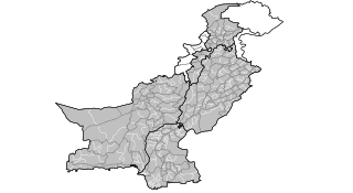
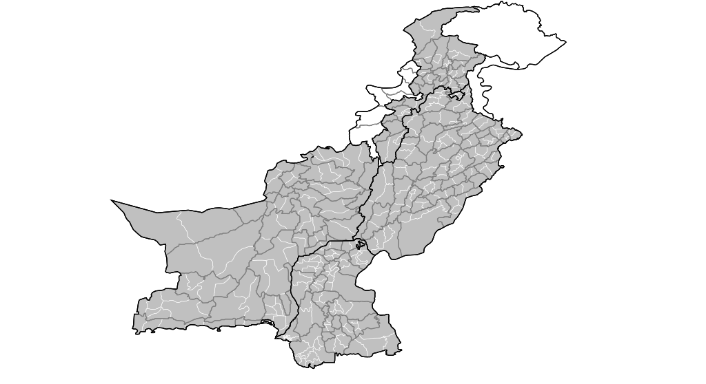
| 描述 | Map of the tehsils of Pakistan. Map includes the disputed areas. Created by Rarelibra 20:47, 31 October 2007 (UTC) for public domain use, using MapInfo Professional v8.5 and various mapping resources. |
| 日期 | 2007年10月31號 (original upload date) |
| 來源 | No machine-readable source provided. Own work assumed (based on copyright claims). |
| 作者 | No machine-readable author provided. Rarelibra assumed (based on copyright claims). |
協議
| I, the copyright holder of this work, release this work into the public domain. This applies worldwide. In some countries this may not be legally possible; if so: I grant anyone the right to use this work for any purpose, without any conditions, unless such conditions are required by law. |
檔案歷史
撳個日期/時間去睇響嗰個時間出現過嘅檔案。
| 日期/時間 | 縮圖 | 尺寸 | 用戶 | 註解 | |
|---|---|---|---|---|---|
| 現時 | 2007年10月31號 (三) 20:47 | | 512 × 279(940 KB) | Rarelibra | Map of the tehsils of Pakistan. Map includes the disputed areas. Created by ~~~~ for public domain use, using MapInfo Professional v8.5 and various mapping resources. |
檔案用途
無嘢連來呢份檔案。
全域檔案使用情況
下面嘅維基都用緊呢個檔案:
- ar.wikipedia.org嘅使用情況
- ckb.wikipedia.org嘅使用情況