
File:Pre-roman iron age (map).PNG
預覽大細:577 × 600 像素。 第啲解像度:231 × 240 像素|462 × 480 像素|657 × 683 像素。
原本檔案 (657 × 683 像素,檔案大細:38 KB ,MIME類型:image/png)
摘要
| 描述 |
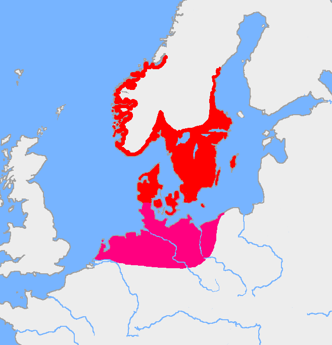
English: Map of the Nordic Iron Age and the Jastorf culture. |
||
| 日期 | |||
| 來源 | Image:Europe plain rivers.png and the Harper Atlas of World History (ed. Vidal-Naquet) in Swedish translation: Atlas över mänsklighetens historia. | ||
| 作者 | Copied from en:, uploaded by Wiglaf | ||
| Other versions |
|

.PNG?uselang=yue)
協議
| This work has been released into the public domain by its author, Wiglaf. This applies worldwide. In some countries this may not be legally possible; if so: |
檔案歷史
撳個日期/時間去睇響嗰個時間出現過嘅檔案。
| 日期/時間 | 縮圖 | 尺寸 | 用戶 | 註解 | |
|---|---|---|---|---|---|
| 現時 | 2017年8月8號 (二) 05:43 | | 657 × 683(38 KB) | Velivieras | Updated the map concerning the Åland islands. Scandinavian influence to the island started in 11th century. |
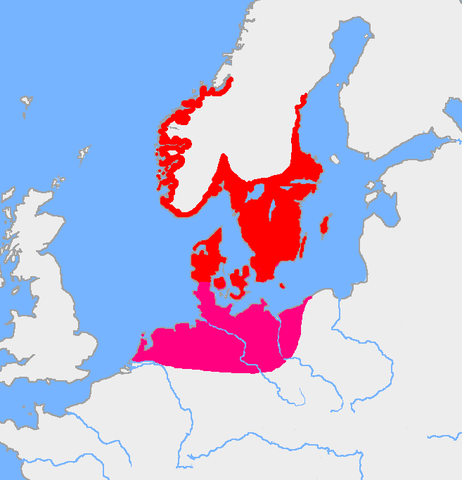
| 2005年8月15號 (一) 07:26 |  | 657 × 683(32 KB) | Square87~commonswiki | from en.wiki {{PD}} |
檔案用途
全域檔案使用情況
下面嘅維基都用緊呢個檔案:
- af.wikipedia.org嘅使用情況
- als.wikipedia.org嘅使用情況
- ast.wikipedia.org嘅使用情況
- be.wikipedia.org嘅使用情況
- ca.wikipedia.org嘅使用情況
- ca.wiktionary.org嘅使用情況
- cs.wikipedia.org嘅使用情況
- da.wikipedia.org嘅使用情況
- da.wikibooks.org嘅使用情況
- de.wikipedia.org嘅使用情況
- eml.wikipedia.org嘅使用情況
- en.wikipedia.org嘅使用情況
- eo.wikipedia.org嘅使用情況
- es.wikipedia.org嘅使用情況
- et.wikipedia.org嘅使用情況
- eu.wikipedia.org嘅使用情況
- fa.wikipedia.org嘅使用情況
- fi.wikipedia.org嘅使用情況
- fi.wikibooks.org嘅使用情況
- fr.wikipedia.org嘅使用情況
- fr.wikiversity.org嘅使用情況
- fr.wiktionary.org嘅使用情況
睇呢個檔案嘅更多全域使用情況。
.PNG)
.PNG)