
File:SandakanLocationMap.PNG
冇更高解像度嘅圖像。
SandakanLocationMap.PNG (431 × 417 像素,檔案大細:37 KB ,MIME類型:image/png)
摘要
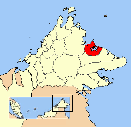
| 描述 | Sandakan location |
| 日期 | 未知日期 |
| 來源 | 自己作品 |
| 作者 | Kawaputra |
協議
| This work has been released into the public domain by its author, I, Kawaputra. This applies worldwide. In some countries this may not be legally possible; if so: I, Kawaputra grants anyone the right to use this work for any purpose, without any conditions, unless such conditions are required by law. |
檔案歷史
撳個日期/時間去睇響嗰個時間出現過嘅檔案。
| 日期/時間 | 縮圖 | 尺寸 | 用戶 | 註解 | |
|---|---|---|---|---|---|
| 現時 | 2007年7月28號 (六) 03:21 | | 431 × 417(37 KB) | Kawaputra | {{Information |Description=Sandakan location |Source=self-made |Date= |Author= Kawaputra }} Category:Maps of Sabah |
檔案用途
以下嘅1版用到呢個檔:
全域檔案使用情況
下面嘅維基都用緊呢個檔案: