
File:Serbia and Montenegro.svg

呢個「SVG」檔案嘅呢個「PNG」預覽嘅大細:450 × 456 像素。 第啲解像度:237 × 240 像素|474 × 480 像素|758 × 768 像素|1,011 × 1,024 像素|2,021 × 2,048 像素。
原本檔案 (SVG檔案,表面大細: 450 × 456 像素,檔案大細:586 KB)
| 描述 |
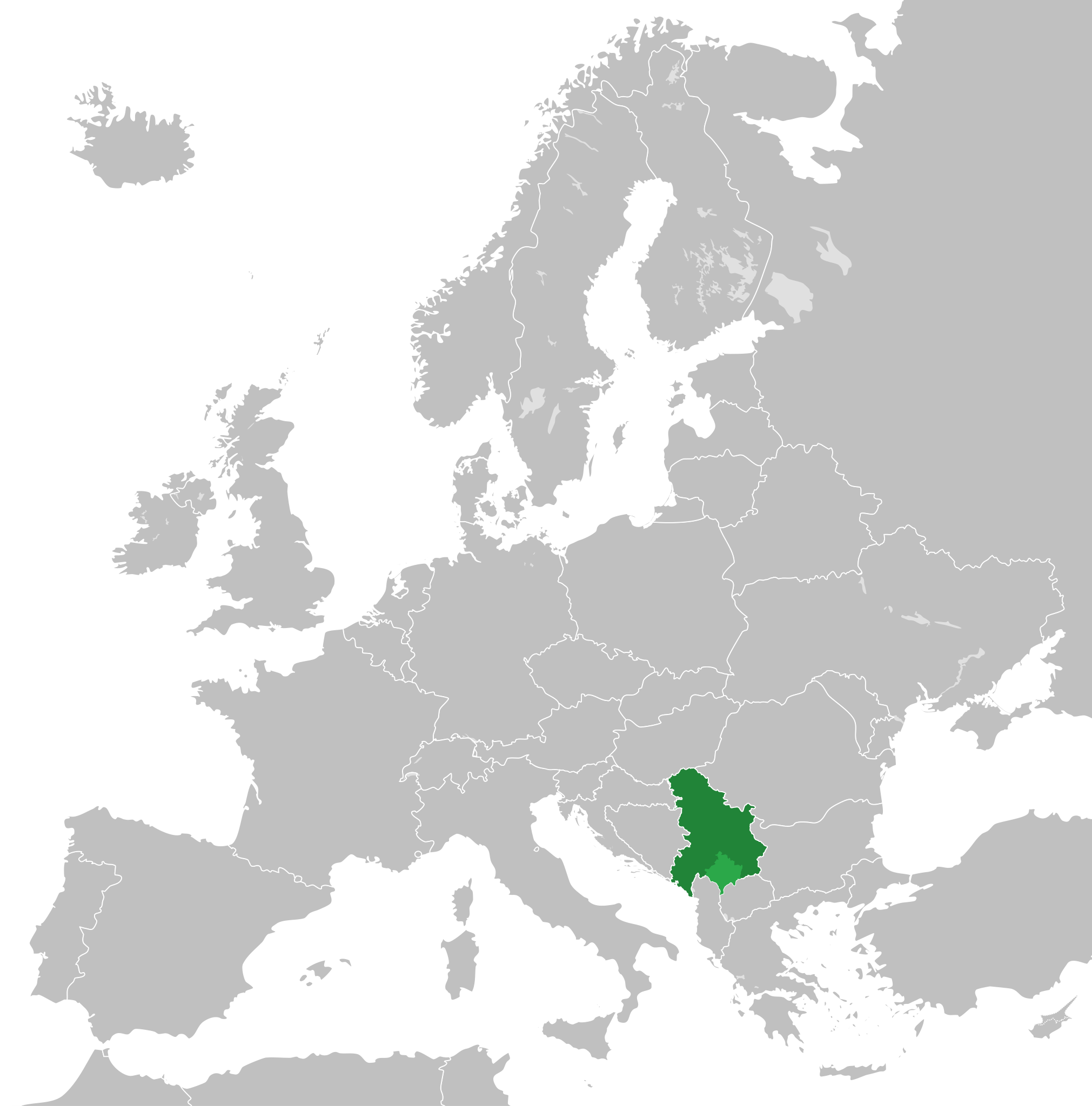
English: Map of the Federal Republic of Yugoslavia (1992-2003) and the State Union of Serbia and Montenegro (2003-2006).
Note: Following the adoption of Resolution 1244 on 10 June 1999, Kosovo was placed under a UN Interim Administration – de facto separating it from the rest of Yugoslavia. |
| 日期 | |
| 來源 | Own work, based upon File:Blank map of Europe.svg |
| 作者 |
This W3C-unspecified vector image was created with Inkscape . |
| 許可 (重用呢個檔案) |
呢個檔案用共享創意 姓名標示-非商業性-相同方式分享3.0 未本地化版本條款授權。
|
檔案歷史
撳個日期/時間去睇響嗰個時間出現過嘅檔案。
| 日期/時間 | 縮圖 | 尺寸 | 用戶 | 註解 | |
|---|---|---|---|---|---|
| 現時 | 2020年8月31號 (一) 01:48 | | 450 × 456(586 KB) | Savasampion | Kosovo fixed |
| 2019年4月27號 (六) 18:31 |  | 450 × 456(586 KB) | Illegitimate Barrister | cleanup nodes | |
| 2018年7月5號 (四) 05:05 |  | 450 × 456(587 KB) | TRAJAN 117 | +++ | |
| 2015年5月2號 (六) 22:08 |  | 450 × 456(584 KB) | TRAJAN 117 | +++ | |
| 2013年8月17號 (六) 13:15 |  | 680 × 520(598 KB) | TRAJAN 117 | Adjustment | |
| 2011年12月13號 (二) 22:43 |  | 680 × 520(654 KB) | TRAJAN 117 | {{Information |Description ={{en|1=Map of Serbia and Montenegro, circa 2002.}} |Source =Own work, based upon [http://commons.wikimedia.org/wiki/File:Blank_map_of_Europe.svg] |Author =25px '''[[ |
檔案用途
全域檔案使用情況
下面嘅維基都用緊呢個檔案:
- af.wikipedia.org嘅使用情況
- ar.wikipedia.org嘅使用情況
- arz.wikipedia.org嘅使用情況
- ast.wikipedia.org嘅使用情況
- azb.wikipedia.org嘅使用情況
- az.wikipedia.org嘅使用情況
- be-tarask.wikipedia.org嘅使用情況
- bg.wikipedia.org嘅使用情況
- bn.wikipedia.org嘅使用情況
- ca.wikipedia.org嘅使用情況
- cs.wikipedia.org嘅使用情況
- de.wikipedia.org嘅使用情況
- en.wikipedia.org嘅使用情況
- en.wikinews.org嘅使用情況
- eo.wikipedia.org嘅使用情況
- es.wikipedia.org嘅使用情況
- fa.wikipedia.org嘅使用情況
- fi.wikipedia.org嘅使用情況
- fr.wikipedia.org嘅使用情況
- fr.wikinews.org嘅使用情況
- ga.wikipedia.org嘅使用情況
- gl.wikipedia.org嘅使用情況
- he.wikipedia.org嘅使用情況
- hr.wikipedia.org嘅使用情況
- hy.wikipedia.org嘅使用情況
- ia.wikipedia.org嘅使用情況
- id.wikipedia.org嘅使用情況
- incubator.wikimedia.org嘅使用情況
- it.wikipedia.org嘅使用情況
- ja.wikipedia.org嘅使用情況
- kk.wikipedia.org嘅使用情況
- ko.wikipedia.org嘅使用情況
- lb.wikipedia.org嘅使用情況
- li.wikipedia.org嘅使用情況
睇呢個檔案嘅更多全域使用情況。