
File:St-hippolyte-du-fort-panorama-max.jpg
原本檔案 (6,246 × 2,330 像素,檔案大細:12.14 MB ,MIME類型:image/jpeg)
摘要
| 描述 |
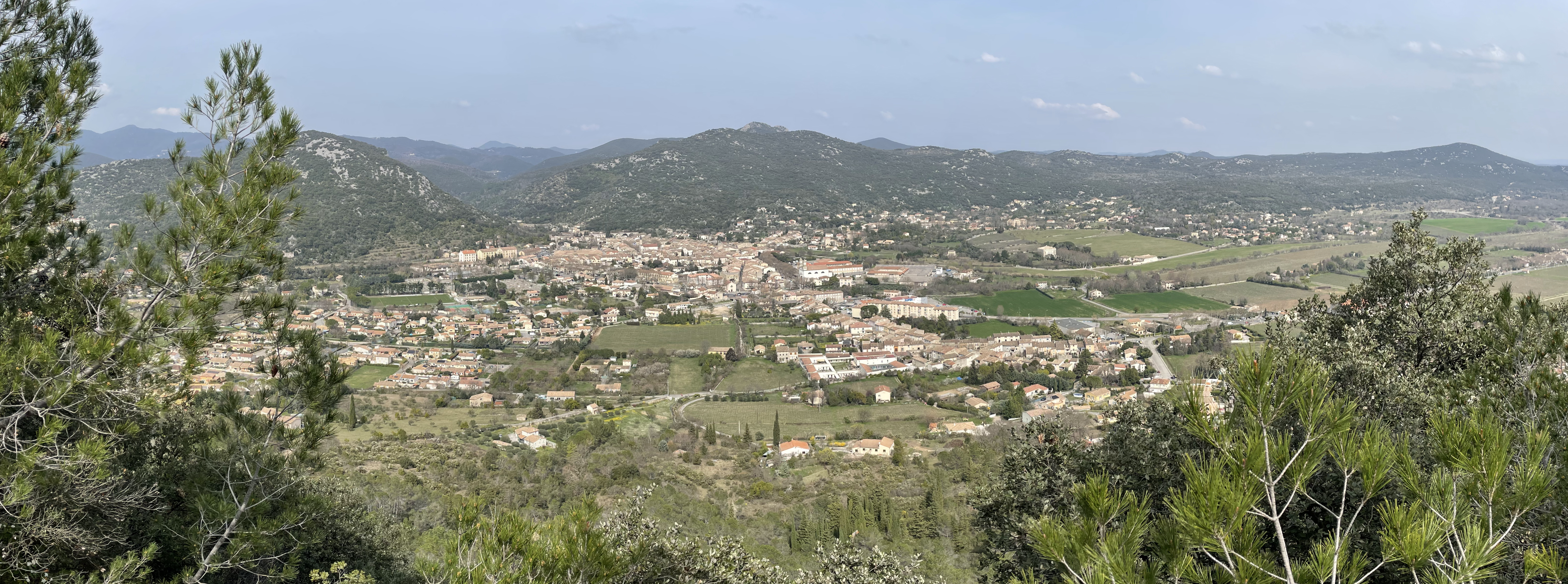
Nederlands: De plaats St. Hippolyte-du-Fort, gezien vanaf de top van de Puech de Mar
Français : Le village de Saint-Hippolyte-du-Fort depuis la montagne du Puech de Mar
English: The village Saint Hippolyte du Fort as seen from the top of the Puech de Mar |
| 日期 | |
| 來源 | 自己作品 |
| 作者 | B. Mulckhuijse |
| Camera location | | View this and other nearby images on: OpenStreetMap |
|---|
協議
我,呢份作品嘅作者,決定用以下許可發佈呢件作品:
This file is licensed under the Creative Commons Attribution-Share Alike 4.0 International license.
- 你可以:
- 去分享 – 複製、發佈同傳播呢個作品
- 再改 – 創作演繹作品
- 要遵照下面嘅條件:
- 署名 – 你一定要畀合適嘅表彰、畀返指向呢個授權條款嘅連結,同埋寫明有無改過嚟。你可以用任何合理方式去做,但唔可以用任何方式暗示授權人認可咗你或者你嘅使用方式。
- 相同方式分享 – 如果你用任何方式改過呢個作品,你必須要用返原本或者相似嘅條款發佈。
檔案歷史
撳個日期/時間去睇響嗰個時間出現過嘅檔案。
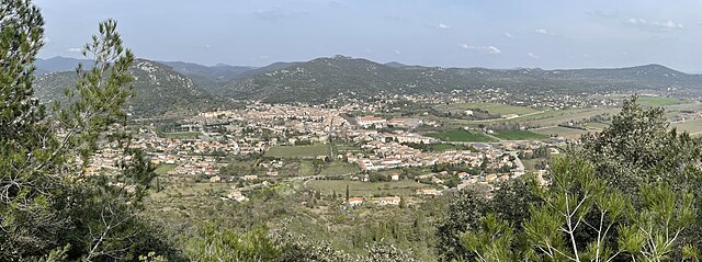
| 日期/時間 | 縮圖 | 尺寸 | 用戶 | 註解 | |
|---|---|---|---|---|---|
| 現時 | 2022年3月19號 (六) 19:21 | 6,246 × 2,330(12.14 MB) | Bmulckhu | Uploaded own work with UploadWizard |
檔案用途
以下嘅1版用到呢個檔:
全域檔案使用情況
下面嘅維基都用緊呢個檔案:
- fr.wikipedia.org嘅使用情況
- nl.wikipedia.org嘅使用情況
- sl.wikipedia.org嘅使用情況
- www.wikidata.org嘅使用情況
- zh.wikipedia.org嘅使用情況